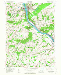
1953 Map of Lambertville
USGS Topo · Published 1960About this map
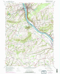
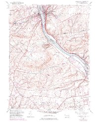
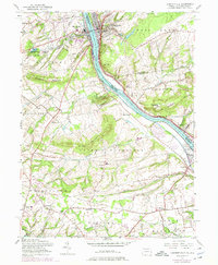
The Delaware River serves as the primary corridor of commerce and geography in this mid-century survey, dividing the thriving boroughs of New Hope and Lambertville. Along the western bank, the Delaware and Raritan Canal runs parallel to the water, a remnant of earlier transport networks that shaped the valley's development. The map details the transition from these concentrated riverfront hubs to the agricultural and wooded uplands of Solebury Mountain and Jericho Mountain. The landscape is dotted with early 20th-century institutional and local history markers, from the Mercer County Workhouse to the Thompson Memorial Cem. Public lands are prominently featured at Washington Crossing State Park, marking the historically significant terrain of Taylorsville and Washington Crossing. Inland, smaller crossroads like Buckmanville, Stoopville, and Penns Park maintain a dispersed settlement pattern, connected by rural routes and the Pennsylvania and Reading railroad lines.
Find a feature on this map
66 named features on this map. Tap any name to fly to it.
Don’t see what you’re looking for? This feature index may not catch every label — zoom into the map to look around manually.
Map Details
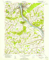
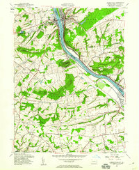
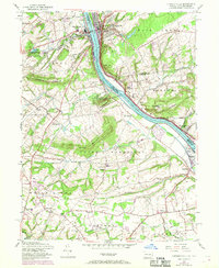
Editions of this 1953 Lambertville Map
7 editions found
Other maps of this area

1890 · Lambertville
USGS Topo · 1:62,500

1890 · Doylestown
USGS Topo · 1:62,500

1890 · Burlington
USGS Topo · 1:62,500

1891 · Lambertville
USGS Topo · 1:62,500

1891 · Doylestown
USGS Topo · 1:62,500

1893 · Germantown
USGS Topo · 1:62,500

1893 · Burlington
USGS Topo · 1:62,500

1894 · Lambertville
USGS Topo · 1:62,500

1894 · Germantown
USGS Topo · 1:62,500

1896 · Germantown
USGS Topo · 1:62,500
Featured Places
- Lower Makefield Township, PA
- Buckingham Township, PA
- Hopewell Township, NJ
- Solebury Township, PA
- Upper Makefield Township, PA