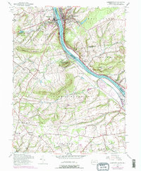
1953 Map of Lambertville
USGS Topo · Published 1974About this map
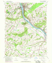
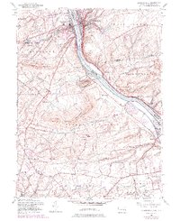
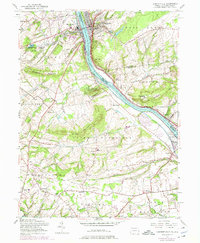
New Hope and Lambertville anchor this riverfront survey, where the Delaware River serves as the focal point for industry and recreation in the mid-20th century. The landscape is defined by the historic transport corridors of the Delaware and Raritan Canal and the Penn Central railroad, which parallel the river's course. Uplands like Baldpate Mountain and Jericho Mountain rise above the valley, while the river is dotted with features like Holcombe Island and Goat Hill.
Find a feature on this map
61 named features on this map. Tap any name to fly to it.
Don’t see what you’re looking for? This feature index may not catch every label — zoom into the map to look around manually.
Map Details
Editions of this 1953 Lambertville Map
7 editions found
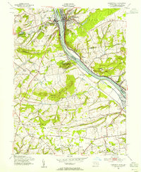
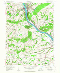
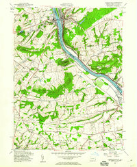
Other maps of this area

1890 · Lambertville
USGS Topo · 1:62,500

1890 · Doylestown
USGS Topo · 1:62,500

1890 · Burlington
USGS Topo · 1:62,500

1891 · Lambertville
USGS Topo · 1:62,500

1891 · Doylestown
USGS Topo · 1:62,500

1893 · Germantown
USGS Topo · 1:62,500

1893 · Burlington
USGS Topo · 1:62,500

1894 · Lambertville
USGS Topo · 1:62,500

1894 · Germantown
USGS Topo · 1:62,500

1896 · Germantown
USGS Topo · 1:62,500
Featured Places
- Lower Makefield Township, PA
- Buckingham Township, PA
- Hopewell Township, NJ
- Solebury Township, PA
- Upper Makefield Township, PA