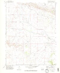
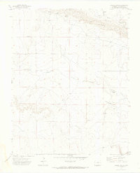
1971 Map of Lambing Spring
USGS Topo · Published 1974About this map
Van Bremer Arroyo winds through the northern reaches of this Las Animas County landscape, cutting a path through the distinctive terrain of The Hogback. The 1971 survey reveals an arid cattle-country environment where water sources like Lambing Spring and other unnamed Spring points were vital to local operations. Evidence of rural infrastructure is found at a Gaging Sta and various Tanks positioned along the drainage basins.
Find a feature on this map
12 named features on this map. Tap any name to fly to it.
Don’t see what you’re looking for? This feature index may not catch every label — zoom into the map to look around manually.
Map Details
Editions of this 1971 Lambing Spring Map
2 editions found
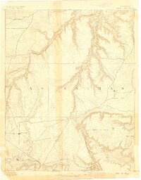
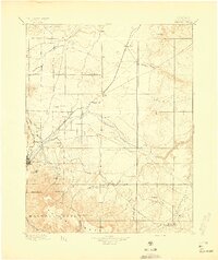
Other maps of this area

1891 · Mesa De Maya
USGS Topo · 1:125,000

1892 · Elmoro
USGS Topo · 1:125,000

1893 · Elmoro
USGS Topo · 1:125,000
1893 · Mesa de Maya
USGS Topo · 1:125,000
1897 · Elmoro
USGS Topo · 1:125,000

1954 · Trinidad
USGS Topo · 1:250,000

1955 · La Junta
USGS Topo · 1:250,000

1955 · Trinidad
USGS Topo · 1:250,000

1958 · La Junta
USGS Topo · 1:250,000

1958 · Trinidad
USGS Topo · 1:250,000