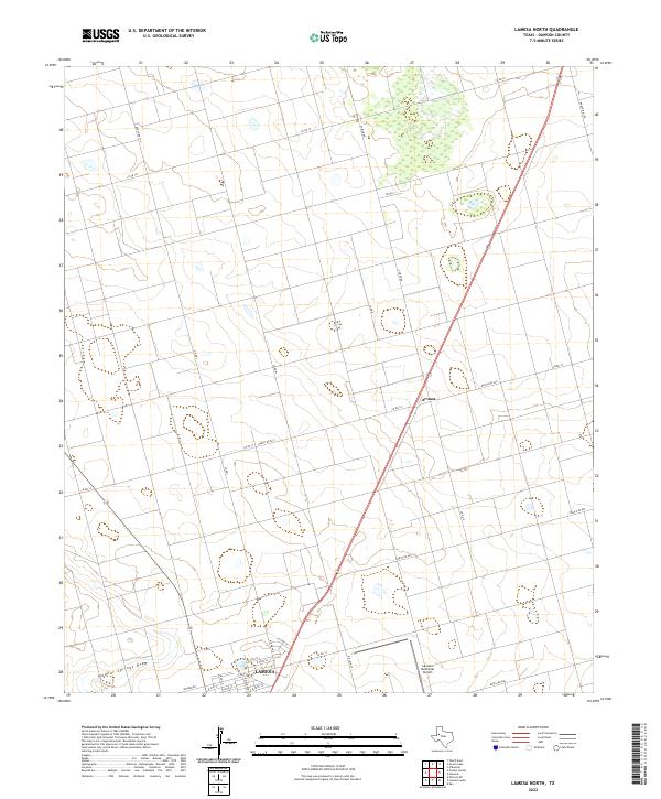
2022 Map of Lamesa North
USGS Topo · Published 2022About this map
Arvana stands as a distinct node along the primary highway corridor in this part of Dawson County, marking a landscape defined by its agricultural grid and the low-relief drainage of Sulphur Springs Draw. The southern portion of the map captures the northward expansion of Lamesa, where the street grid transitions from residential blocks at N 27th St into the open industrial and transportation facilities near the Lamesa Municipal Airport. This modern survey reveals a patchwork of rural roads like Co Rd L and Glider Rd that delineate large-scale West Texas ranching and farming tracts. The area is intersected by several state-maintained routes, including Ranch Rd 179 and Ranch Rd 2411, which serve as the lifelines for the smaller outposts and agricultural operations throughout the northern Llano Estacado.
Find a feature on this map
26 named features on this map. Tap any name to fly to it.
Don’t see what you’re looking for? This feature index may not catch every label — zoom into the map to look around manually.
Map Details
Editions of this 2022 Lamesa North Map
This is the sole edition of this map. No revisions or reprints were ever made.
Other maps of this area

1954 · Hobbs
USGS Topo · 1:250,000

1954 · Big Spring
USGS Topo · 1:250,000

1958 · Big Spring
USGS Topo · 1:250,000

1958 · Hobbs
USGS Topo · 1:250,000

1968 · Lamesa North
USGS Topo · 1:24,000

1968 · Hancock
USGS Topo · 1:24,000

1969 · Welch East
USGS Topo · 1:24,000

1969 · Gooch Lake
USGS Topo · 1:24,000

1969 · O'Donnell
USGS Topo · 1:24,000

1969 · Punkin Center
USGS Topo · 1:24,000