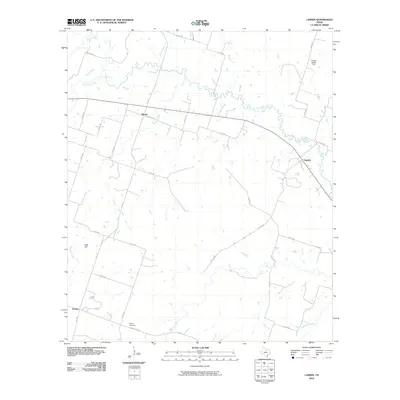
2010 Map of Lamkin
USGS Topo · Published 2010About this map
The Leon River meanders across this rural Comanche County landscape, defining the character of the central Texas terrain near the settlements of Siloam and Lamkin. The land is shaped by an intricate network of waterways, including the South Leon River, Mills Creek, and Bee Branch, which drain the undulating countryside. To the southwest, the community of Energy serves as a local anchor, centered near the Energy Cemetery. The topography rises noticeably at Slick Hill, overlooking the Chappell Creek drainage.
Find a feature on this map
36 named features on this map. Tap any name to fly to it.
Don’t see what you’re looking for? This feature index may not catch every label — zoom into the map to look around manually.
Map Details
Editions of this 2010 Lamkin Map
This is the sole edition of this map. No revisions or reprints were ever made.
Other maps of this area

1888 · Hamilton
USGS Topo · 1:125,000

1894 · Hamilton
USGS Topo · 1:125,000

1954 · Brownwood
USGS Topo · 1:250,000

1956 · Gustine
USGS Topo · 1:62,500

1956 · Gentrys Mill
USGS Topo · 1:24,000

1956 · Gustine
USGS Topo · 1:24,000

1956 · Pottsville
USGS Topo · 1:62,500

1956 · Hico
USGS Topo · 1:62,500

1956 · Hamilton
USGS Topo · 1:62,500

1956 · Hamilton West
USGS Topo · 1:24,000