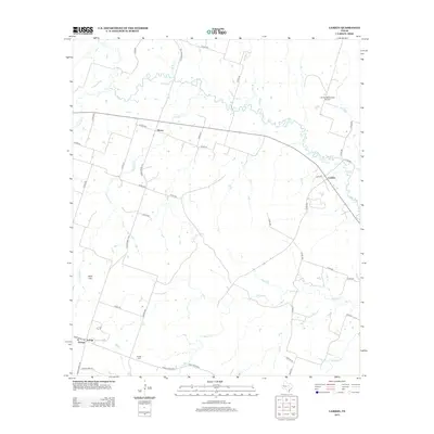
2012 Map of Lamkin
USGS Topo · Published 2012About this map
The Leon River and its tributary, the S Leon River, define the rural character of this Central Texas landscape near the small communities of Siloam and Lamkin. The terrain is marked by seasonal drainages like Warren Cr and Chappell Cr, which cut through the ranching country toward Slick Hill in the southwest. A network of county roads and ranch roads facilitates movement between these scattered settlements, illustrating the area's ongoing agricultural focus. In the southern portion of the sheet, the community of Energy is centered around its historic Energy Cem, a site of significant value for genealogists and local historians. To the north, the Harley White Field Airport provides a modern navigational landmark amidst the traditional river-bottom lands of Comanche County.
Find a feature on this map
43 named features on this map. Tap any name to fly to it.
Don’t see what you’re looking for? This feature index may not catch every label — zoom into the map to look around manually.
Map Details
Editions of this 2012 Lamkin Map
This is the sole edition of this map. No revisions or reprints were ever made.
Other maps of this area

1888 · Hamilton
USGS Topo · 1:125,000

1894 · Hamilton
USGS Topo · 1:125,000

1954 · Brownwood
USGS Topo · 1:250,000

1956 · Gustine
USGS Topo · 1:62,500

1956 · Gentrys Mill
USGS Topo · 1:24,000

1956 · Gustine
USGS Topo · 1:24,000

1956 · Pottsville
USGS Topo · 1:62,500

1956 · Hico
USGS Topo · 1:62,500

1956 · Hamilton
USGS Topo · 1:62,500

1956 · Hamilton West
USGS Topo · 1:24,000