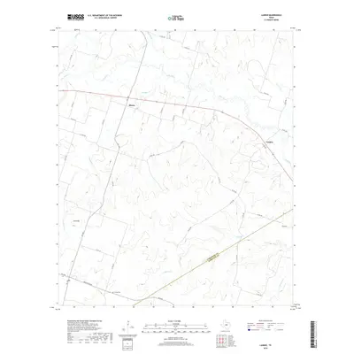
2019 Map of Lamkin
USGS Topo · Published 2019About this map
The Leon River meanders across the northern portion of this Central Texas landscape, defining the topography of a region dominated by drainage basins and elevated ridges. The small community of Lamkin sits along the river's path, while the settlement of Siloam is positioned further west near the junction of rural routes. The terrain is marked by significant elevation changes, most notably at Slick Hill in the western section of the map.
Find a feature on this map
40 named features on this map. Tap any name to fly to it.
Don’t see what you’re looking for? This feature index may not catch every label — zoom into the map to look around manually.
Map Details
Editions of this 2019 Lamkin Map
This is the sole edition of this map. No revisions or reprints were ever made.
Other maps of this area

1888 · Hamilton
USGS Topo · 1:125,000

1894 · Hamilton
USGS Topo · 1:125,000

1954 · Brownwood
USGS Topo · 1:250,000

1956 · Gustine
USGS Topo · 1:62,500

1956 · Gentrys Mill
USGS Topo · 1:24,000

1956 · Gustine
USGS Topo · 1:24,000

1956 · Pottsville
USGS Topo · 1:62,500

1956 · Hico
USGS Topo · 1:62,500

1956 · Hamilton
USGS Topo · 1:62,500

1956 · Hamilton West
USGS Topo · 1:24,000