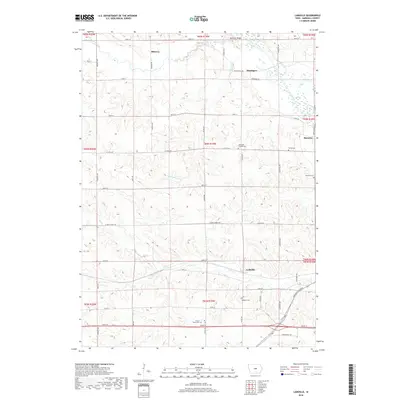
2018 Map of LaMoille
USGS Topo · Published 2018About this map
Mormon Ridge rises above the glacial plains of Marshall County, overlooking a landscape defined by the winding course of the Iowa River and its many tributaries. This 2018 survey documents a region where agricultural history and rural community life are etched into the section lines. Small settlements like LaMoille and Minerva serve as focal points for the surrounding farmsteads, connected by an orderly grid of local roads including W Main Street Rd and Co Hwy E29.
Find a feature on this map
49 named features on this map. Tap any name to fly to it.
Don’t see what you’re looking for? This feature index may not catch every label — zoom into the map to look around manually.
Map Details
Editions of this 2018 LaMoille Map
This is the sole edition of this map. No revisions or reprints were ever made.
Other maps of this area

1954 · Waterloo
USGS Topo · 1:250,000

1954 · Des Moines
USGS Topo · 1:250,000

1955 · Waterloo
USGS Topo · 1:250,000

1956 · Des Moines
USGS Topo · 1:250,000

1957 · Des Moines
USGS Topo · 1:250,000

1960 · Marshalltown
USGS Topo · 1:24,000

1960 · Marshalltown
USGS Topo · 1:62,500

1960 · Conrad West
USGS Topo · 1:24,000

1969 · Des Moines
USGS Topo · 1:250,000

1975 · State Center NW
USGS Topo · 1:24,000