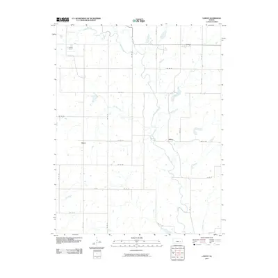
2009 Map of Lamont
USGS Topo · Published 2009About this map
The Verdigris River serpentines through the center of this rural Kansas landscape, defining the character of the country between the small settlements of Lamont and Hilltop. This 2009 survey reflects the persistent agricultural grid of Greenwood County, where a dense network of township roads—including TWP RD 215 and TWP RD 232—segments the prairie into neat sections. These thoroughfares connect isolated homesteads and small communities like Bisbee to the region's waterways and higher ground.
Find a feature on this map
32 named features on this map. Tap any name to fly to it.
Don’t see what you’re looking for? This feature index may not catch every label — zoom into the map to look around manually.
Map Details
Editions of this 2009 Lamont Map
This is the sole edition of this map. No revisions or reprints were ever made.
Other maps of this area

1885 · Burlington
USGS Topo · 1:125,000

1885 · Eureka
USGS Topo · 1:125,000

1886 · Fredonia
USGS Topo · 1:125,000

1888 · Emporia
USGS Topo · 1:125,000

1888 · Eureka
USGS Topo · 1:125,000

1894 · Emporia
USGS Topo · 1:125,000

1894 · Fredonia
USGS Topo · 1:125,000

1894 · Burlington
USGS Topo · 1:125,000

1894 · Eureka
USGS Topo · 1:125,000

1947 · Lawrence
USGS Topo · 1:250,000