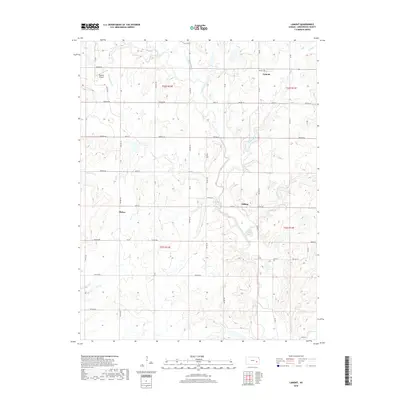
2018 Map of Lamont
USGS Topo · Published 2018About this map
Verdigris River and its multiple tributaries, including Halderman Cr and Van Horn Cr, shape the landscape of this portion of Greenwood County. The settlement of Lamont serves as a local anchor in the north, while the smaller points of Hilltop and Bisbee mark the rural crossroads of the southern sections. This agricultural area is defined by a dense grid of township roads and section lines, facilitating travel between disparate farmsteads and small aviation hubs like Godfrey Airport. The intricate drainage patterns of Long Creek and Greenhall Cr highlight the region's undulating topography, illustrating the natural watercourses that have historically influenced land use and the placement of small rural communities in eastern Kansas.
Find a feature on this map
52 named features on this map. Tap any name to fly to it.
Don’t see what you’re looking for? This feature index may not catch every label — zoom into the map to look around manually.
Map Details
Editions of this 2018 Lamont Map
This is the sole edition of this map. No revisions or reprints were ever made.
Other maps of this area

1885 · Burlington
USGS Topo · 1:125,000

1885 · Eureka
USGS Topo · 1:125,000

1886 · Fredonia
USGS Topo · 1:125,000

1888 · Emporia
USGS Topo · 1:125,000

1888 · Eureka
USGS Topo · 1:125,000

1894 · Emporia
USGS Topo · 1:125,000

1894 · Fredonia
USGS Topo · 1:125,000

1894 · Burlington
USGS Topo · 1:125,000

1894 · Eureka
USGS Topo · 1:125,000

1947 · Lawrence
USGS Topo · 1:250,000