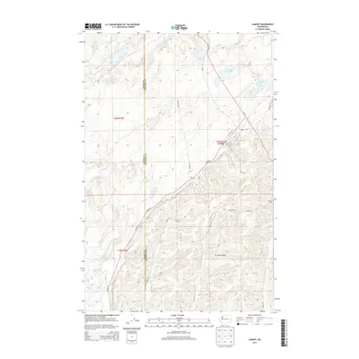
2014 Map of Lamont
USGS Topo · Published 2014About this map
Lamont sits at the junction of Lamont Rd and Revere Rd, serving as the primary hub in this portion of the Palouse. The landscape is defined by the ADAMS CO and Whitman Co boundary, where the terrain transitions from the high plateaus into a series of interconnected basins and depressions. Water is the most striking feature of this geography, with a dense network of lakes and sloughs including Heart Lake, Alkali Lake, Sheep Lake, and the uniquely named Crooked Knee Lake.
Find a feature on this map
34 named features on this map. Tap any name to fly to it.
Don’t see what you’re looking for? This feature index may not catch every label — zoom into the map to look around manually.
Map Details
Editions of this 2014 Lamont Map
This is the sole edition of this map. No revisions or reprints were ever made.
Other maps of this area

1953 · Ritzville
USGS Topo · 1:250,000

1954 · Sprague
USGS Topo · 1:62,500

1955 · Spokane
USGS Topo · 1:250,000

1958 · Spokane
USGS Topo · 1:250,000

1959 · Ritzville
USGS Topo · 1:250,000

1964 · Lamont NE
USGS Topo · 1:24,000

1964 · Lamont NW
USGS Topo · 1:24,000

1964 · Texas Lake
USGS Topo · 1:24,000

1964 · Revere
USGS Topo · 1:24,000

1964 · Macall
USGS Topo · 1:24,000