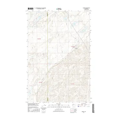
2017 Map of Lamont
USGS Topo · Published 2017About this map
Lamont sits at the junction of Spokane St and 7th St in this 2017 survey of the scabland landscape along the Adams Co Whitman Co border. The town's grid is small and orderly, set against a backdrop of complex terrain where numerous lakes fill the depressions of the channeled scablands. To the east, the Grisham Cem marks a point of local history on the higher ground overlooking the surrounding drainages.
Find a feature on this map
30 named features on this map. Tap any name to fly to it.
Don’t see what you’re looking for? This feature index may not catch every label — zoom into the map to look around manually.
Map Details
Editions of this 2017 Lamont Map
This is the sole edition of this map. No revisions or reprints were ever made.
Other maps of this area

1953 · Ritzville
USGS Topo · 1:250,000

1954 · Sprague
USGS Topo · 1:62,500

1955 · Spokane
USGS Topo · 1:250,000

1958 · Spokane
USGS Topo · 1:250,000

1959 · Ritzville
USGS Topo · 1:250,000

1964 · Lamont NE
USGS Topo · 1:24,000

1964 · Lamont NW
USGS Topo · 1:24,000

1964 · Texas Lake
USGS Topo · 1:24,000

1964 · Revere
USGS Topo · 1:24,000

1964 · Macall
USGS Topo · 1:24,000