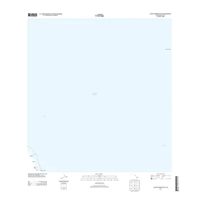
2013 Map of Lanai North OE E
USGS Topo · Published 2013About this map
‘Au‘au Channel separates the islands in this coastal survey, focusing on the maritime corridor between West Maui and the eastern shores of Lāna‘i. The coastline of Lāna‘i is marked by the small settlement at Waiopae and the nearby Wai‘ōpae waters. The area is defined by its landings, which served as vital transit points for the local economy and inter-island travel. On the western edge of the channel, Halepalaoa Landing provides a specific point of reference for historical shoreline activity, while the distant Kaanapali Landing is noted across the water. The terrestrial landscape is sparse, featuring the Kāhe‘a Gulch and the area of Kāhe‘a, illustrating the intersection of volcanic terrain and the sea in Maui County.
Find a feature on this map
9 named features on this map. Tap any name to fly to it.
Don’t see what you’re looking for? This feature index may not catch every label — zoom into the map to look around manually.
Map Details
Editions of this 2013 Lanai North OE E Map
This is the sole edition of this map. No revisions or reprints were ever made.
Other maps of this area

1923 · Island of Lanai
USGS Topo · 1:31,680

1925 · Island of Lanai
USGS Topo · 1:62,500

1954 · Maui
USGS Topo · 1:250,000

1955 · Olowalu
USGS Topo · 1:24,000

1956 · Lahaina
USGS Topo · 1:24,000

1956 · Honolua
USGS Topo · 1:24,000

1966 · Maui
USGS Topo · 1:250,000

1974 · Maui
USGS Topo · 1:250,000
1978 · Lahaina
USGS Topo · 1:24,000
1983 · Olowalu
USGS Topo · 1:24,000