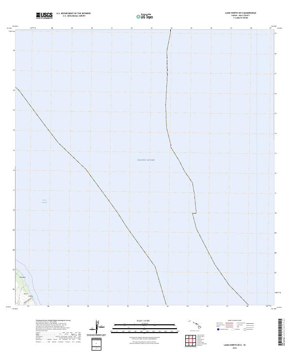
2024 Map of Lanai North OE E
USGS Topo · Published 2024About this map
The northeastern coastline of Lāna'i meets the open waters of the Pacific Ocean in this coastal survey. The map focuses on the maritime environment and the immediate shoreline transition of Maui County, where the 'Au'au Channel separates the island from its neighbors. This specific corner of the island is characterized by geographic features like Wai'ōpae and the drainage of Kahe'a Gulch, providing a detailed look at the island's fringe before the terrain rises into the interior. The presence of Kahe'a along the coast suggests the historical and environmental importance of these littoral zones for local navigation and land use in the modern era.
Find a feature on this map
6 named features on this map. Tap any name to fly to it.
Don’t see what you’re looking for? This feature index may not catch every label — zoom into the map to look around manually.
Map Details
Editions of this 2024 Lanai North OE E Map
This is the sole edition of this map. No revisions or reprints were ever made.
Other maps of this area

1923 · Island of Lanai
USGS Topo · 1:31,680

1925 · Island of Lanai
USGS Topo · 1:62,500

1954 · Maui
USGS Topo · 1:250,000

1955 · Olowalu
USGS Topo · 1:24,000

1956 · Lahaina
USGS Topo · 1:24,000

1956 · Honolua
USGS Topo · 1:24,000

1966 · Maui
USGS Topo · 1:250,000

1974 · Maui
USGS Topo · 1:250,000
1978 · Lahaina
USGS Topo · 1:24,000
1983 · Olowalu
USGS Topo · 1:24,000