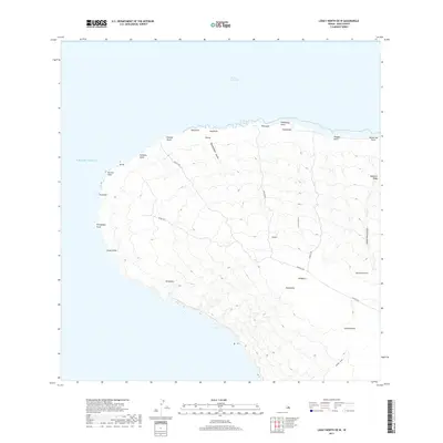
2017 Map of Lanai North OE W
USGS Topo · Published 2017About this map
Polihua Beach and the northwestern coastline of Lāna'i dominate this 2017 survey, where the terrestrial landscape meets the Kalohi Channel. The map documents a network of historical and modern access routes across the island's interior, including the Awaalua Hwy and several significant pedestrian paths like the Kaena Trl, Polihua Trl, and Lapaiki Trl. These trails follow the natural contours of the land, connecting high points like Kānepu'u and Kapukaloa to coastal landmarks such as Keanapapa Point and Ka'ena Point.
Find a feature on this map
34 named features on this map. Tap any name to fly to it.
Don’t see what you’re looking for? This feature index may not catch every label — zoom into the map to look around manually.
Map Details
Editions of this 2017 Lanai North OE W Map
This is the sole edition of this map. No revisions or reprints were ever made.
Other maps of this area

1923 · Island of Lanai
USGS Topo · 1:31,680

1925 · Island of Lanai
USGS Topo · 1:62,500

1954 · Maui
USGS Topo · 1:250,000

1966 · Maui
USGS Topo · 1:250,000

1974 · Maui
USGS Topo · 1:250,000
1984 · Lanai North
USGS Topo · 1:25,000
1984 · Lanai South
USGS Topo · 1:25,000
1991 · Garden Of The Gods
USGS Topo · 1:24,000
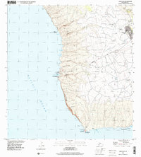
1992 · Lanai City
USGS Topo · 1:24,000
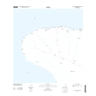
2013 · Lanai North OE W
USGS Topo · 1:24,000