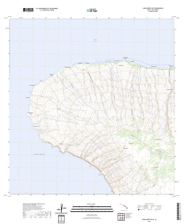
2024 Map of Lanai North OE W
USGS Topo · Published 2024About this map
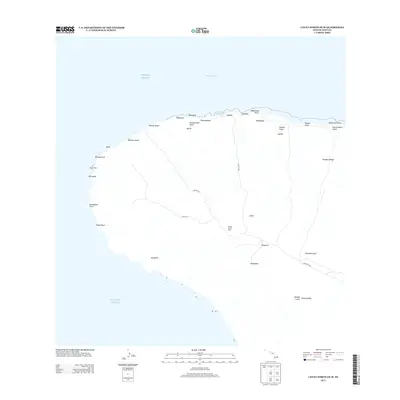
The northwestern coast of Lāna'i is defined by a series of prominent headlands and deep drainage features, ranging from Keanapapa Point in the west to Honua'ula Point in the east. This coastal landscape is etched with numerous gulches, such as Pu'umaiekahi Gulch and Lapaiki Gulch, which channel seasonal water from the high interior ridges toward the Kalohi Channel. The network of trails and roads, including the Polihua Trl and Kaena Trl, reveals a topography where accessibility is limited by the sharp relief of features like Kuamo'o Ridge.
Find a feature on this map
35 named features on this map. Tap any name to fly to it.
Don’t see what you’re looking for? This feature index may not catch every label — zoom into the map to look around manually.
Map Details
Editions of this 2024 Lanai North OE W Map
This is the sole edition of this map. No revisions or reprints were ever made.
Other maps of this area

1923 · Island of Lanai
USGS Topo · 1:31,680

1925 · Island of Lanai
USGS Topo · 1:62,500

1954 · Maui
USGS Topo · 1:250,000

1966 · Maui
USGS Topo · 1:250,000

1974 · Maui
USGS Topo · 1:250,000
1984 · Lanai North
USGS Topo · 1:25,000
1984 · Lanai South
USGS Topo · 1:25,000
1991 · Garden Of The Gods
USGS Topo · 1:24,000
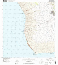
1992 · Lanai City
USGS Topo · 1:24,000
2013 · Lanai North OE W
USGS Topo · 1:24,000