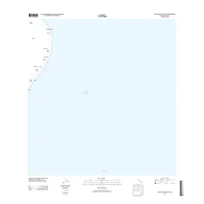
2013 Map of Lanai South OE E
USGS Topo · Published 2013About this map
The eastern coastline of Lāna‘i presents a landscape defined by its interface with the Pacific Ocean and the Kealaikahiki Channel. This coastal strip is marked by a series of geographic features that descend from the island's interior toward the shore, including Kāhe‘a Gulch, Lōpā Gulch, and Kapua Gulch. These drainages serve as the primary topographical markers for the area, dictating the placement of the sparse settlements found here.
Find a feature on this map
16 named features on this map. Tap any name to fly to it.
Don’t see what you’re looking for? This feature index may not catch every label — zoom into the map to look around manually.
Map Details
Editions of this 2013 Lanai South OE E Map
This is the sole edition of this map. No revisions or reprints were ever made.
Other maps of this area

1923 · Island of Lanai
USGS Topo · 1:31,680

1925 · Island of Lanai
USGS Topo · 1:62,500

1929 · Kahoolawe
USGS Topo · 1:62,500

1954 · Maui
USGS Topo · 1:250,000

1955 · Olowalu
USGS Topo · 1:24,000

1956 · Lahaina
USGS Topo · 1:24,000

1966 · Maui
USGS Topo · 1:250,000

1974 · Maui
USGS Topo · 1:250,000
1978 · Lahaina
USGS Topo · 1:24,000
1983 · Olowalu
USGS Topo · 1:24,000