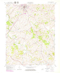
1961 Map of Lancaster
USGS Topo · Published 1979About this map
The town of Lancaster serves as the focal point of this Central Kentucky landscape, situated near the boundary where Garrard and Lincoln Counties meet. This survey documents the region's transport evolution, showing the path of the Wilderness Road and the remnant path of an Old Railroad Grade that once connected these rural communities. The terrain is deeply incised by the Dix River and its numerous tributaries, including White Oak Creek and Gilberts Creek.
Find a feature on this map
34 named features on this map. Tap any name to fly to it.
Don’t see what you’re looking for? This feature index may not catch every label — zoom into the map to look around manually.
Map Details
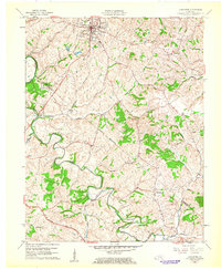
Editions of this 1961 Lancaster Map
2 editions found
Other maps of this area

1892 · Richmond
USGS Topo · 1:125,000

1893 · London
USGS Topo · 1:125,000

1897 · Richmond
USGS Topo · 1:125,000

1897 · London
USGS Topo · 1:125,000

1905 · Harrodsburg
USGS Topo · 1:125,000

1950 · Bryantsville
USGS Topo · 1:24,000

1952 · Halls Gap
USGS Topo · 1:24,000

1952 · Crab Orchard
USGS Topo · 1:24,000

1952 · Buckeye
USGS Topo · 1:24,000

1952 · Paint Lick
USGS Topo · 1:24,000