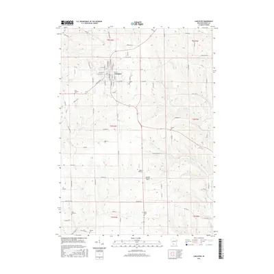
2016 Map of Lancaster
USGS Topo · Published 2016About this map
The Grant County seat of Lancaster serves as the focal point of this 2016 survey, where the grid of city streets like W Maple St and S Madison St gives way to the agricultural expanse of Southwest Wisconsin. The terrain is defined by a dense network of coulees and ridges, drained by numerous watercourses including Pigeon Cr, Moore Br, and Austin Br. A notable concentration of rural cemeteries, such as Hillside Cem and Saint Clements Cem, provides essential points of reference for genealogists tracing family histories in the Driftless Area.
Find a feature on this map
85 named features on this map. Tap any name to fly to it.
Don’t see what you’re looking for? This feature index may not catch every label — zoom into the map to look around manually.
Map Details
Editions of this 2016 Lancaster Map
This is the sole edition of this map. No revisions or reprints were ever made.
Other maps of this area

1900 · Lancaster
USGS Topo · 1:125,000

1904 · Lancaster
USGS Topo · 1:125,000

1908 · Lancaster
USGS Topo · 1:125,000

1955 · Balltown
USGS Topo · 1:24,000

1957 · Potosi
USGS Topo · 1:24,000

1959 · Dubuque
USGS Topo · 1:250,000

1961 · Dubuque
USGS Topo · 1:250,000
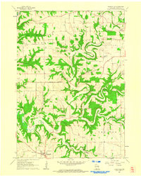
1961 · Dickeyville
USGS Topo · 1:24,000

1962 · Dubuque
USGS Topo · 1:250,000
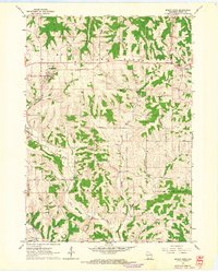
1962 · Mount Hope
USGS Topo · 1:24,000