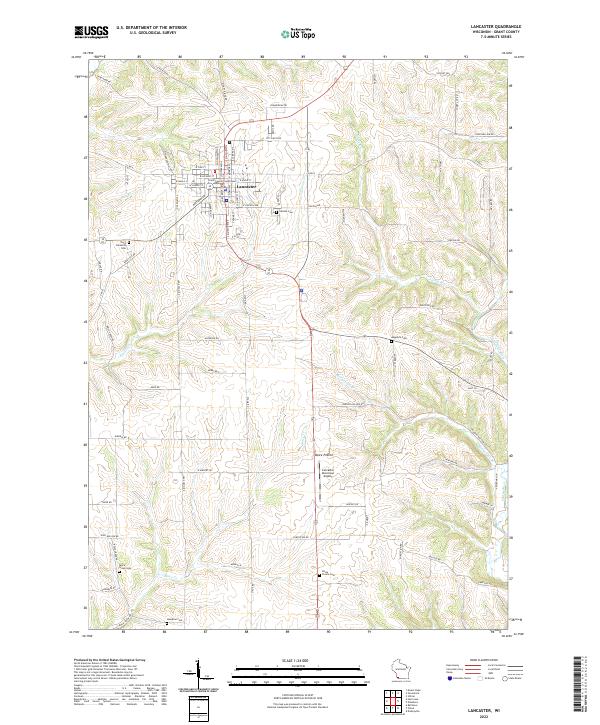
2022 Map of Lancaster
USGS Topo · Published 2022About this map
The Grant County Courthouse serves as the focal point for Lancaster, the historic county seat of Grant County. This agricultural landscape is defined by the ridge-and-valley topography typical of the region, where roads like Beetown Rd and Mount Ridge Rd follow the high ground between deepening drainage basins. The settlement patterns are anchored by numerous rural burial grounds, including Hillside Cem, Saint Clements Cem, and Aupperle Cem, which dot the outskirts of the town and the surrounding townships.
Find a feature on this map
86 named features on this map. Tap any name to fly to it.
Don’t see what you’re looking for? This feature index may not catch every label — zoom into the map to look around manually.
Map Details
Editions of this 2022 Lancaster Map
This is the sole edition of this map. No revisions or reprints were ever made.
Other maps of this area

1900 · Lancaster
USGS Topo · 1:125,000

1904 · Lancaster
USGS Topo · 1:125,000

1908 · Lancaster
USGS Topo · 1:125,000

1955 · Balltown
USGS Topo · 1:24,000

1957 · Potosi
USGS Topo · 1:24,000

1959 · Dubuque
USGS Topo · 1:250,000

1961 · Dubuque
USGS Topo · 1:250,000
1961 · Dickeyville
USGS Topo · 1:24,000

1962 · Dubuque
USGS Topo · 1:250,000
1962 · Mount Hope
USGS Topo · 1:24,000