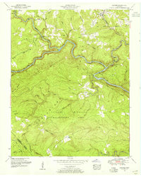
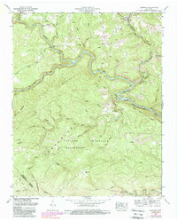
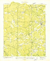
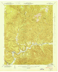
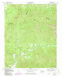
1952 Map of Lancing
USGS Topo · Published 1955This historical map portrays the area of Lancing in 1952, primarily covering Morgan County as well as portions of Cumberland County. Featuring a scale of 1:24000, this map provides a highly detailed snapshot of the terrain, roads, buildings, counties, and historical landmarks in the Lancing region at the time. Published in 1955, it is one of 6 known editions of this map due to revisions or reprints.
Find a feature on this map
54 named features on this map. Tap any name to fly to it.
Don’t see what you’re looking for? This feature index may not catch every label — zoom into the map to look around manually.
Map Details
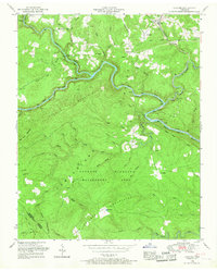
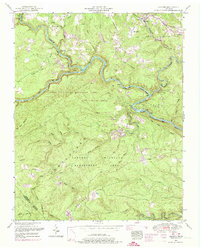
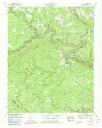
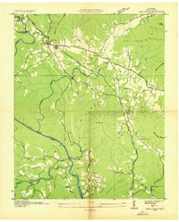
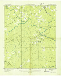
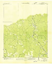
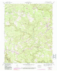
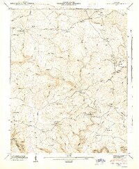
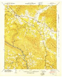
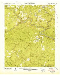
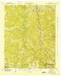
Editions of this 1952 Lancing Map
6 editions found
Historical Maps of Cumberland County Through Time
17 maps found
1935 Camp Austin
Morgan County, TN

1935 Gobey
Morgan County, TN
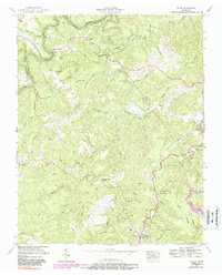
1935 Lancing
Morgan County, TN
1935 Pilot Mountain
Morgan County, TN
1936 Twin Bridges
Morgan County, TN
1943 Twin Bridges
Morgan County, TN
1945 Twin Bridges
Morgan County, TN
1946 Camp Austin
Morgan County, TN
1946 Gobey
Morgan County, TN
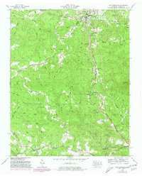
1946 Lancing
Morgan County, TN
1946 Pilot Mountain
Morgan County, TN
1952 Camp Austin
Morgan County, TN
1952 Gobey
Morgan County, TN
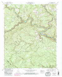
1952 Lancing
Morgan County, TN
1952 Pilot Mountain
Morgan County, TN
1952 Rugby
Morgan County, TN

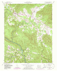
1979 Oakridge
Morgan County, TN