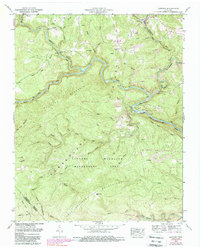
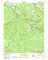
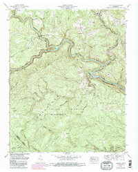
1952 Map of Lancing
USGS Topo · Published 1988About this map
Cumberland Plateau geography dominates this mid-century survey of Morgan County, where the deeply carved gorges of the Obed River and Emory River converge. The landscape is a study in the intersection of extraction and preservation, featuring the sprawling Catoosa Wildlife Management Area alongside numerous Strip Mine operations that pockmark the ridges near Catoosa. Local history is centered around the settlement of Lancing, served by the Cincinnati New Orleans and Texas Pacific RR, and smaller hamlets like Nemo.
Find a feature on this map
56 named features on this map. Tap any name to fly to it.
Don’t see what you’re looking for? This feature index may not catch every label — zoom into the map to look around manually.
Map Details
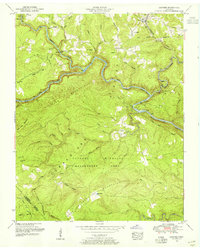
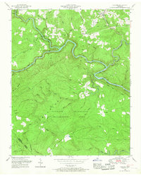
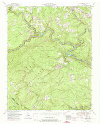
Editions of this 1952 Lancing Map
6 editions found
Other maps of this area

1887 · Kingston
USGS Topo · 1:125,000

1891 · Kingston
USGS Topo · 1:125,000

1893 · Kingston
USGS Topo · 1:125,000

1895 · Wartburg
USGS Topo · 1:125,000

1896 · Wartburg
USGS Topo · 1:125,000

1935 · Gobey
USGS Topo · 1:24,000

1935 · Camp Austin
USGS Topo · 1:24,000

1935 · Harriman
USGS Topo · 1:24,000

1935 · Lancing
USGS Topo · 1:24,000

1935 · Pilot Mountain
USGS Topo · 1:24,000