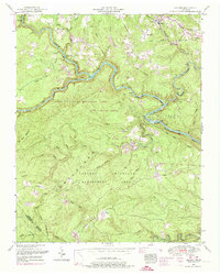
1952 Map of Lancing
USGS Topo · Published 1974About this map
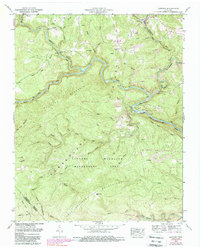
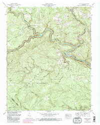
The Obed River and Emory River slice through the sandstone plateau of Morgan County, carving deep gorges that dominate this 1952 TVA field revision. The settlement of Lancing sits near the northern edge, served by the Southern railroad line as it snakes toward the community of Nemo. The landscape transitions from the agricultural clearings near Price and Shady Grove to the dense, protected woodlands of the Catoosa Wildlife Management Area, which covers a significant portion of the southern and western quadrants. Local history is anchored by family landmarks and small congregations, including the Clear Creek Church and several burial grounds like Howard Cemetery and Clark Cemetery. Along Clear Creek, the site of Howard Mill indicates the historical importance of water power in this dissected terrain of the Cumberland Mountains and Crab Orchard Mountains.
Find a feature on this map
56 named features on this map. Tap any name to fly to it.
Don’t see what you’re looking for? This feature index may not catch every label — zoom into the map to look around manually.
Map Details
Editions of this 1952 Lancing Map
6 editions found
Other maps of this area

1887 · Kingston
USGS Topo · 1:125,000

1891 · Kingston
USGS Topo · 1:125,000

1893 · Kingston
USGS Topo · 1:125,000

1895 · Wartburg
USGS Topo · 1:125,000

1896 · Wartburg
USGS Topo · 1:125,000

1935 · Gobey
USGS Topo · 1:24,000

1935 · Camp Austin
USGS Topo · 1:24,000

1935 · Harriman
USGS Topo · 1:24,000

1935 · Lancing
USGS Topo · 1:24,000

1935 · Pilot Mountain
USGS Topo · 1:24,000