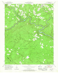
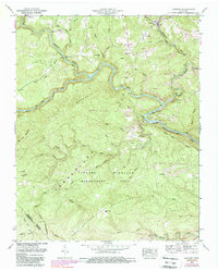
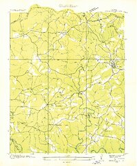
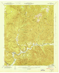
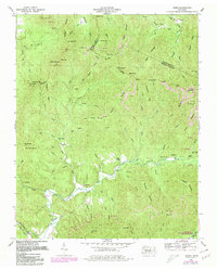
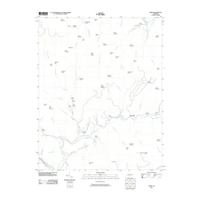
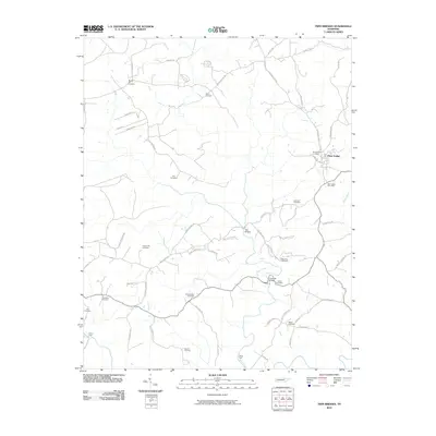
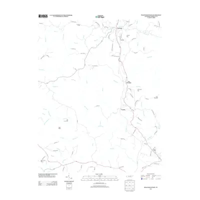
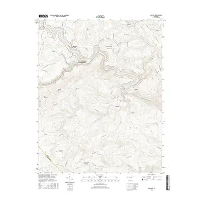
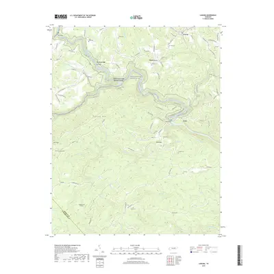
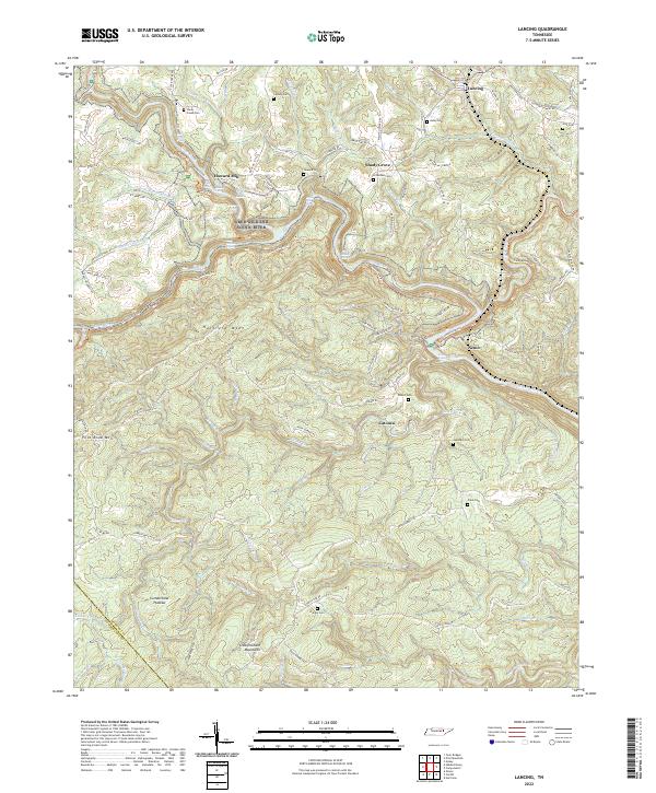
1952 Map of Lancing
USGS Topo · Published 1967About this map
Lancing sits as the primary settlement on the Obed River Plateau in this mid-century survey of Morgan County. The landscape is defined by the deep, winding incisions of the Obed River and Emory River, where historical river crossings like Alley Ford and Lilly Bridge once connected isolated highland communities. Significant local industry and land use are evidenced by Coal extraction points and the extensive Catoosa Wildlife Management Area, which occupies much of the southern terrain across Hatfield Mountain. Genealogists will find a wealth of family-named landmarks including the Howard, Kubly, and Hamby burial grounds, alongside rural landmarks like Howard Mill and the Clear Creek Church. The Southern railroad line cuts through the northeast, providing a vital transport link for the timber and mineral resources of the Cumberland Mountains.
Find a feature on this map
56 named features on this map. Tap any name to fly to it.
Don’t see what you’re looking for? This feature index may not catch every label — zoom into the map to look around manually.
Map Details
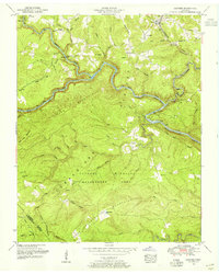
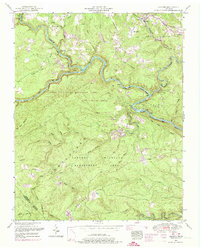
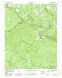
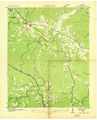
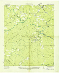
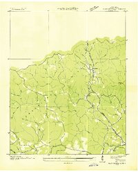
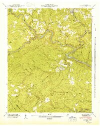
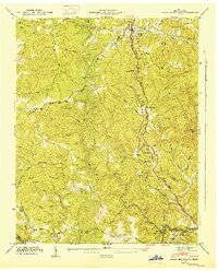
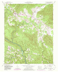
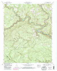
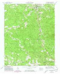
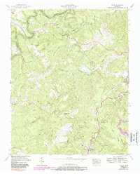
Editions of this 1952 Lancing Map
6 editions found
Historical Maps of Catoosa Through Time
47 maps found
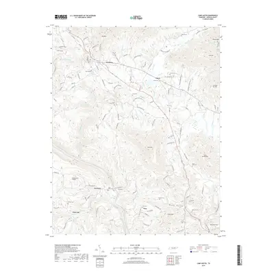
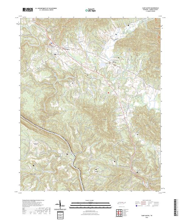
1935 Camp Austin
Morgan County, TN

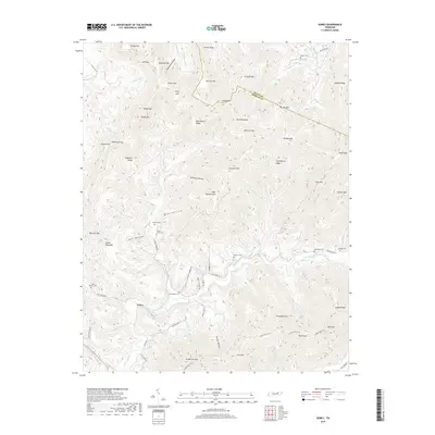
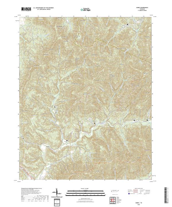
1935 Gobey
Morgan County, TN
1935 Lancing
Morgan County, TN
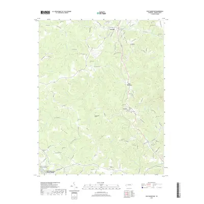
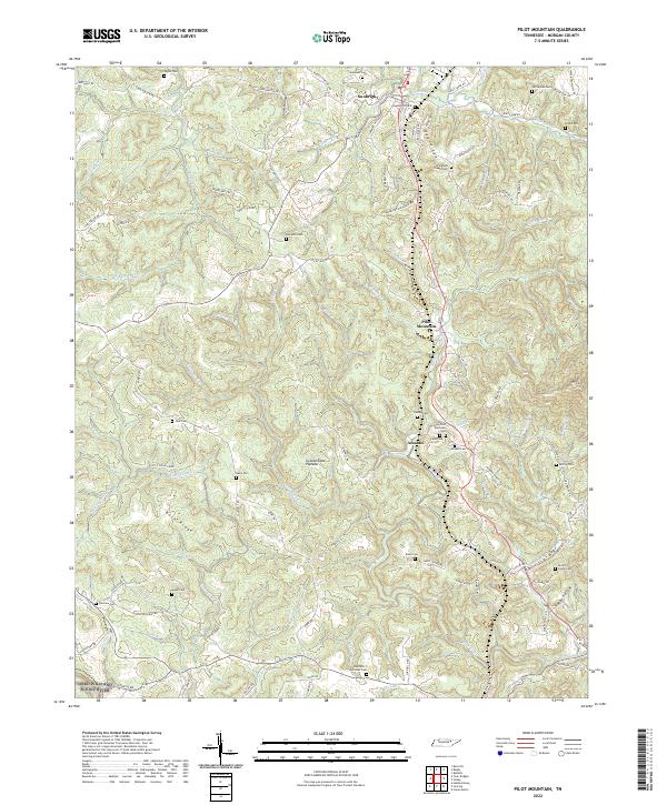
1935 Pilot Mountain
Morgan County, TN
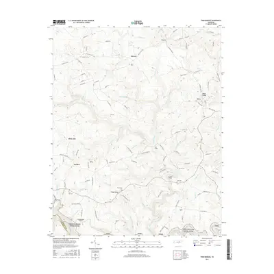
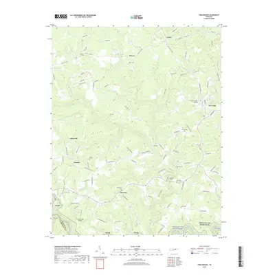
1936 Twin Bridges
Morgan County, TN
1943 Twin Bridges
Morgan County, TN
1945 Twin Bridges
Morgan County, TN
1946 Camp Austin
Morgan County, TN
1946 Gobey
Morgan County, TN
1946 Lancing
Morgan County, TN
1946 Pilot Mountain
Morgan County, TN
1952 Camp Austin
Morgan County, TN
1952 Gobey
Morgan County, TN
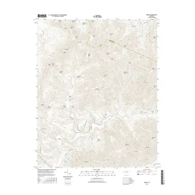
1952 Lancing
Morgan County, TN
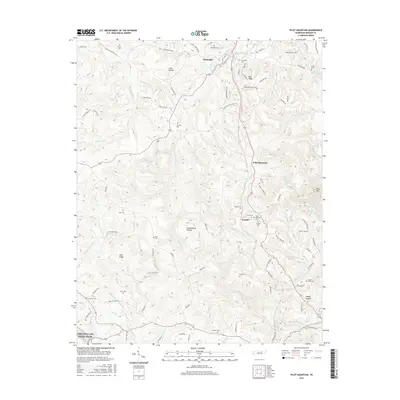
1952 Pilot Mountain
Morgan County, TN
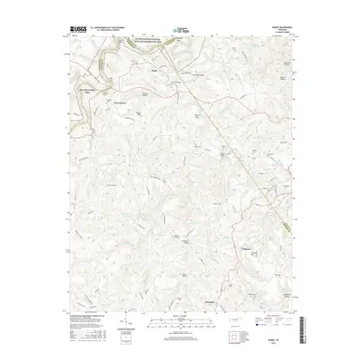
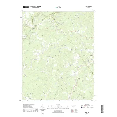
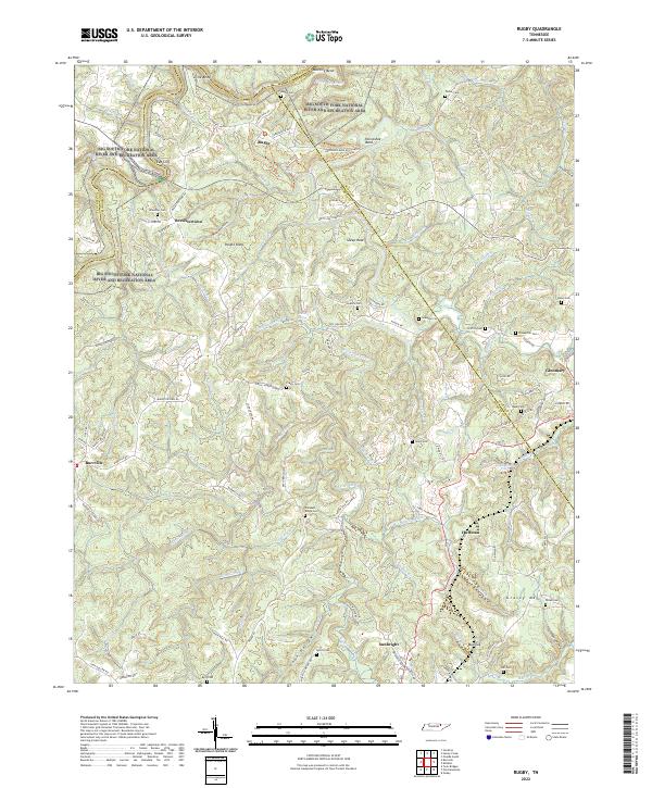
1952 Rugby
Morgan County, TN

1979 Oakridge
Morgan County, TN

2010 Camp Austin
Morgan County, TN
2010 Gobey
Morgan County, TN
2010 Lancing
Morgan County, TN
2010 Pilot Mountain
Morgan County, TN
2010 Rugby
Morgan County, TN
2010 Twin Bridges
Morgan County, TN
2013 Camp Austin
Morgan County, TN
2013 Gobey
Morgan County, TN
2013 Lancing
Morgan County, TN
2013 Pilot Mountain
Morgan County, TN
2013 Rugby
Morgan County, TN
2013 Twin Bridges
Morgan County, TN
2016 Camp Austin
Morgan County, TN
2016 Gobey
Morgan County, TN
2016 Lancing
Morgan County, TN
2016 Pilot Mountain
Morgan County, TN
2016 Rugby
Morgan County, TN
2016 Twin Bridges
Morgan County, TN
2019 Camp Austin
Morgan County, TN
2019 Gobey
Morgan County, TN
2019 Lancing
Morgan County, TN
2019 Pilot Mountain
Morgan County, TN
2019 Rugby
Morgan County, TN
2019 Twin Bridges
Morgan County, TN
2022 Camp Austin
Morgan County, TN
2022 Gobey
Morgan County, TN
2022 Lancing
Morgan County, TN
2022 Pilot Mountain
Morgan County, TN
2022 Rugby
Morgan County, TN
2022 Twin Bridges
Morgan County, TN