
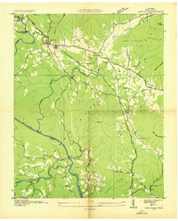
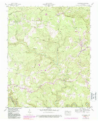
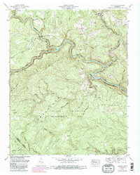
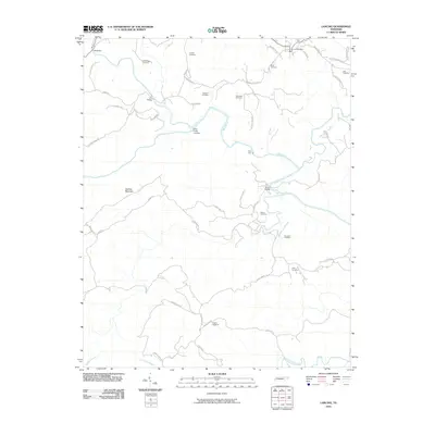
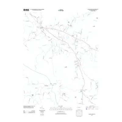
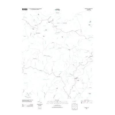
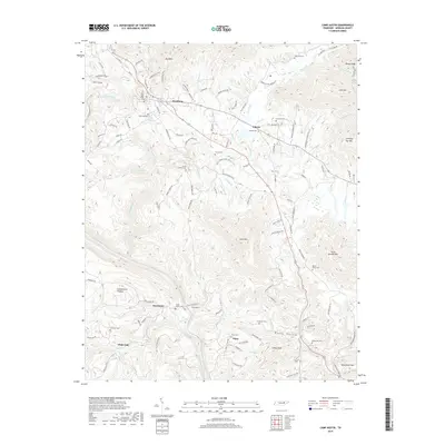
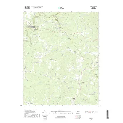
1979 Map of Oakridge
USGS Topo · Published 1980About this map
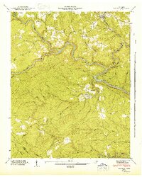
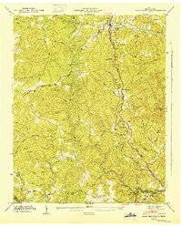
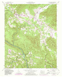
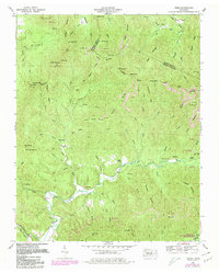
Cumberland Plateau terrain dominates this detailed 1970s survey, illustrating the complex geography of eastern Tennessee as it transitions from the high plateaus toward the Cumberland Mountain ridges. The map documents a landscape defined by significant resource extraction and conservation, with numerous Strip Mines appearing alongside protected lands like the Frozen Head State Environmental Education Area. Established settlements such as Sunbright, Wartburg, and the Victorian village of Rugby are linked by a network of local roads and the corridors of the Southern and Louisville and Nashville railroads.
Find a feature on this map
128 named features on this map. Tap any name to fly to it.
Don’t see what you’re looking for? This feature index may not catch every label — zoom into the map to look around manually.
Map Details
Editions of this 1979 Oakridge Map
This is the sole edition of this map. No revisions or reprints were ever made.
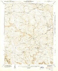
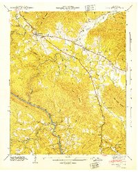
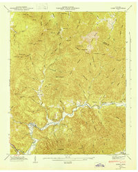
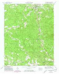
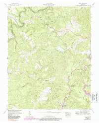
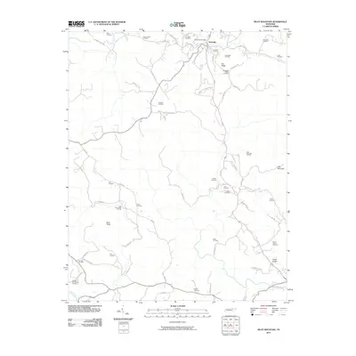
Historical Maps of Knoxville Through Time
47 maps found
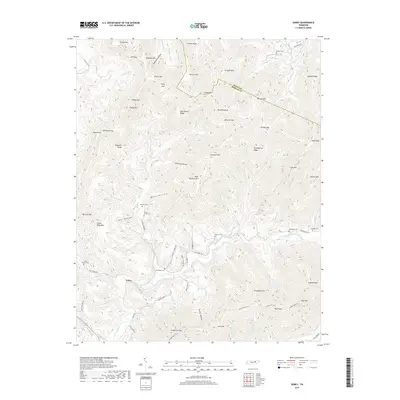
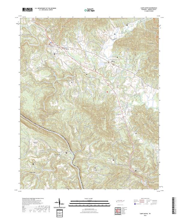
1935 Camp Austin
Morgan County, TN

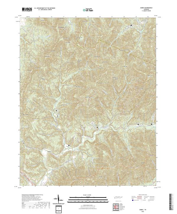
1935 Gobey
Morgan County, TN
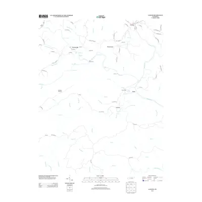
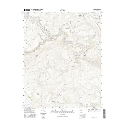
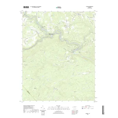
1935 Lancing
Morgan County, TN
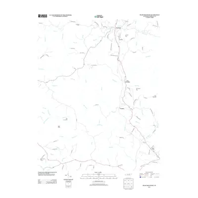
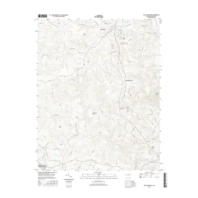
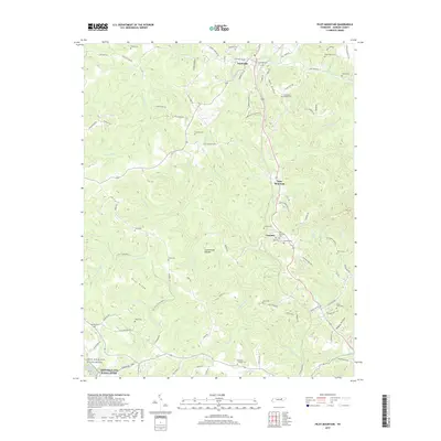
1935 Pilot Mountain
Morgan County, TN
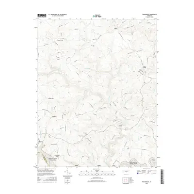
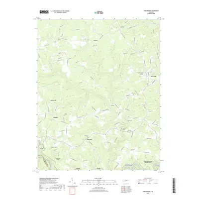
1936 Twin Bridges
Morgan County, TN
1943 Twin Bridges
Morgan County, TN
1945 Twin Bridges
Morgan County, TN
1946 Camp Austin
Morgan County, TN
1946 Gobey
Morgan County, TN
1946 Lancing
Morgan County, TN
1946 Pilot Mountain
Morgan County, TN
1952 Camp Austin
Morgan County, TN
1952 Gobey
Morgan County, TN
1952 Lancing
Morgan County, TN
1952 Pilot Mountain
Morgan County, TN
1952 Rugby
Morgan County, TN
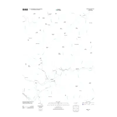
1979 Oakridge
Morgan County, TN

2010 Camp Austin
Morgan County, TN
2010 Gobey
Morgan County, TN
2010 Lancing
Morgan County, TN
2010 Pilot Mountain
Morgan County, TN
2010 Rugby
Morgan County, TN
2010 Twin Bridges
Morgan County, TN
2013 Camp Austin
Morgan County, TN
2013 Gobey
Morgan County, TN
2013 Lancing
Morgan County, TN
2013 Pilot Mountain
Morgan County, TN
2013 Rugby
Morgan County, TN
2013 Twin Bridges
Morgan County, TN
2016 Camp Austin
Morgan County, TN
2016 Gobey
Morgan County, TN
2016 Lancing
Morgan County, TN
2016 Pilot Mountain
Morgan County, TN
2016 Rugby
Morgan County, TN
2016 Twin Bridges
Morgan County, TN
2019 Camp Austin
Morgan County, TN
2019 Gobey
Morgan County, TN
2019 Lancing
Morgan County, TN
2019 Pilot Mountain
Morgan County, TN
2019 Rugby
Morgan County, TN
2019 Twin Bridges
Morgan County, TN
2022 Camp Austin
Morgan County, TN
2022 Gobey
Morgan County, TN
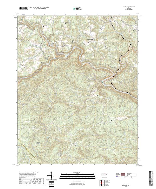
2022 Lancing
Morgan County, TN
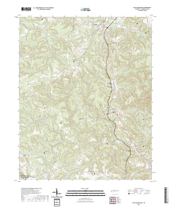
2022 Pilot Mountain
Morgan County, TN
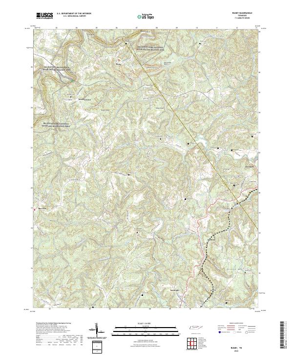
2022 Rugby
Morgan County, TN
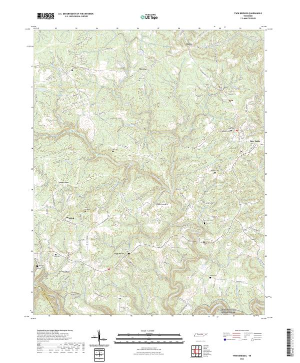
2022 Twin Bridges
Morgan County, TN