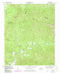
1952 Map of Gobey
USGS Topo · Published 1980About this map
The Emory River winds through the heart of this Morgan County landscape, which was significantly shaped by the resource extraction and timber industries of the mid-20th century. Settlements like Gobey and Elizabeth are flanked by numerous hillsides marked with Strip Mines, particularly near Ross Gap and along the slopes of Maden Branch. The terrain is strictly partitioned by the Tennessee Divide, where waters flow north toward the Big South Fork or south into the Emory drainage system. Genealogists will find a wealth of specific local landmarks, including family-named sites such as McCartt Cemetery and Hamby Cemetery, alongside community centers like Macedonia Church. The presence of an Old Railroad Grade and sections of active Railroad following the riverbanks underscores the area's historical reliance on rail transport for moving coal and timber out of the Cumberland Mountains.
Find a feature on this map
91 named features on this map. Tap any name to fly to it.
Don’t see what you’re looking for? This feature index may not catch every label — zoom into the map to look around manually.
Map Details
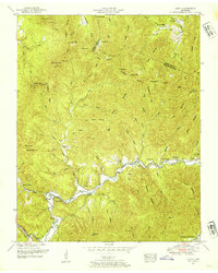
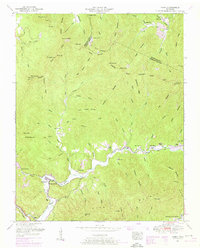
Editions of this 1952 Gobey Map
3 editions found
Other maps of this area

1893 · Briceville
USGS Topo · 1:125,000

1895 · Wartburg
USGS Topo · 1:125,000

1895 · Briceville
USGS Topo · 1:125,000

1896 · Wartburg
USGS Topo · 1:125,000

1896 · Briceville
USGS Topo · 1:125,000

1935 · Gobey
USGS Topo · 1:24,000

1935 · Camp Austin
USGS Topo · 1:24,000

1935 · Lancing
USGS Topo · 1:24,000

1935 · Pilot Mountain
USGS Topo · 1:24,000

1936 · Hogbell Gap
USGS Topo · 1:24,000