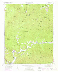
1952 Map of Gobey
USGS Topo · Published 1971About this map
Gobey serves as a focal point along the Emory River in this mid-century survey of the Tennessee Valley highlands. The landscape is defined by the steep ridges of Bird Mountain and Landrom Mountain, where the local economy and social life are anchored by scattered rural institutions. Small settlements and family enclaves are visible through names like Service Flat and England, while the presence of Coal mines along Young Ridge points to the area's extractive industry.
Find a feature on this map
91 named features on this map. Tap any name to fly to it.
Don’t see what you’re looking for? This feature index may not catch every label — zoom into the map to look around manually.
Map Details
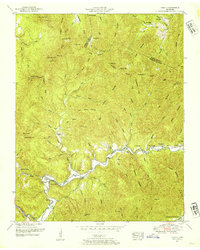
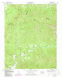
Editions of this 1952 Gobey Map
3 editions found
Other maps of this area

1893 · Briceville
USGS Topo · 1:125,000

1895 · Wartburg
USGS Topo · 1:125,000

1895 · Briceville
USGS Topo · 1:125,000

1896 · Wartburg
USGS Topo · 1:125,000

1896 · Briceville
USGS Topo · 1:125,000

1935 · Gobey
USGS Topo · 1:24,000

1935 · Camp Austin
USGS Topo · 1:24,000

1935 · Lancing
USGS Topo · 1:24,000

1935 · Pilot Mountain
USGS Topo · 1:24,000

1936 · Hogbell Gap
USGS Topo · 1:24,000