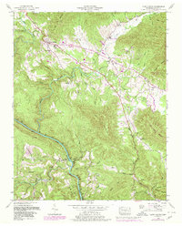
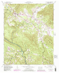
1952 Map of Camp Austin
USGS Topo · Published 1980About this map
The Wartburg area of the Tennessee mountains is characterized by a landscape of coal extraction and rugged river valleys. As seen in this 1952 field revision, the Southern railroad winds through the steep terrain, following the course of the Emory River as it cuts toward the Cumberland Plateau. The map documents the industrial footprint of the era, from active Strip Mines to areas marked as a Reclaimed Strip Mine.
Find a feature on this map
55 named features on this map. Tap any name to fly to it.
Don’t see what you’re looking for? This feature index may not catch every label — zoom into the map to look around manually.
Map Details
Editions of this 1952 Camp Austin Map
5 editions found
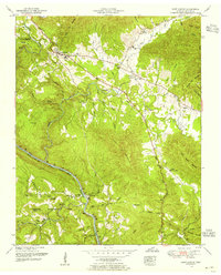
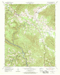
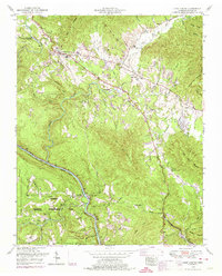
Other maps of this area

1887 · Kingston
USGS Topo · 1:125,000

1891 · Kingston
USGS Topo · 1:125,000

1893 · Briceville
USGS Topo · 1:125,000

1893 · Kingston
USGS Topo · 1:125,000

1895 · Wartburg
USGS Topo · 1:125,000

1895 · Loudon
USGS Topo · 1:125,000

1895 · Briceville
USGS Topo · 1:125,000

1896 · Wartburg
USGS Topo · 1:125,000

1896 · Briceville
USGS Topo · 1:125,000

1935 · Gobey
USGS Topo · 1:24,000