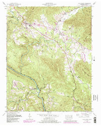
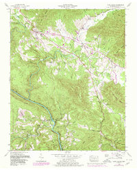
1952 Map of Camp Austin
USGS Topo · Published 1980About this map
Wartburg serves as a primary settlement in this 1952 topographic study, situated where the Emory River bends through the Cumberland Mountains. The landscape is defined by the sharp transition between the Cumberland Plateau and steep peaks like Bird Mountain and Lone Mountain. Resource extraction is evident throughout the terrain, with several Strip Mines and a Reclaimed Strip Mine appearing near Crooked Fork.
Find a feature on this map
62 named features on this map. Tap any name to fly to it.
Don’t see what you’re looking for? This feature index may not catch every label — zoom into the map to look around manually.
Map Details
Editions of this 1952 Camp Austin Map
5 editions found
Other maps of this area

1887 · Kingston
USGS Topo · 1:125,000

1891 · Kingston
USGS Topo · 1:125,000

1893 · Briceville
USGS Topo · 1:125,000

1893 · Kingston
USGS Topo · 1:125,000

1895 · Wartburg
USGS Topo · 1:125,000

1895 · Loudon
USGS Topo · 1:125,000

1895 · Briceville
USGS Topo · 1:125,000

1896 · Wartburg
USGS Topo · 1:125,000

1896 · Briceville
USGS Topo · 1:125,000

1935 · Gobey
USGS Topo · 1:24,000