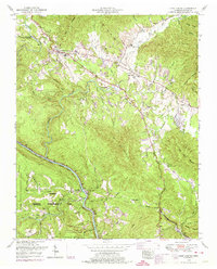
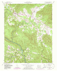
1952 Map of Camp Austin
USGS Topo · Published 1974About this map
The Wartburg town site and the surrounding ridges of Morgan County dominate this mid-century landscape, characterized by the winding path of the Emory River. Significant local landmarks include the Brushy Mountain State Penal Farm tucked into the northern hills and the expansive Catoosa Wildlife Management Area to the southwest. The transport network is anchored by the Southern Railway, which follows the river's contours past the settlement of Deermont.
Find a feature on this map
52 named features on this map. Tap any name to fly to it.
Don’t see what you’re looking for? This feature index may not catch every label — zoom into the map to look around manually.
Map Details
Editions of this 1952 Camp Austin Map
5 editions found
Other maps of this area

1887 · Kingston
USGS Topo · 1:125,000

1891 · Kingston
USGS Topo · 1:125,000

1893 · Briceville
USGS Topo · 1:125,000

1893 · Kingston
USGS Topo · 1:125,000

1895 · Wartburg
USGS Topo · 1:125,000

1895 · Loudon
USGS Topo · 1:125,000

1895 · Briceville
USGS Topo · 1:125,000

1896 · Wartburg
USGS Topo · 1:125,000

1896 · Briceville
USGS Topo · 1:125,000

1935 · Gobey
USGS Topo · 1:24,000