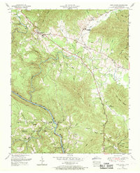
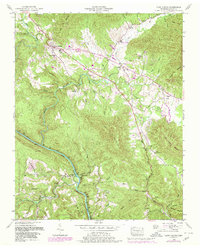
1952 Map of Camp Austin
USGS Topo · Published 1969About this map
Wartburg serves as a primary hub in this mid-century survey of the Cumberland Mountains, situated where the Emory River cuts through the steep topography of the Cumberland Plateau. The landscape is defined by the significant presence of the Brushy Mountain State Penal Farm to the northeast and the expansive Catoosa Wildlife Management Area to the southwest. Rural life and family lineage are documented through several hilltop burial grounds, including the Francis Cemetery and Honeycutt Cemetery, alongside small community centers like Liberty Church and Whitoak School. The Southern railroad winds alongside the river, connecting the smaller settlements of Deermont and Camp Austin to the larger region. This survey captures the area just as the State Forest and wildlife management lands began to dominate the local geography, preserving the location of homesteads and crossroads before many were reclaimed by the forest.
Find a feature on this map
54 named features on this map. Tap any name to fly to it.
Don’t see what you’re looking for? This feature index may not catch every label — zoom into the map to look around manually.
Map Details
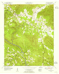
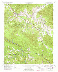
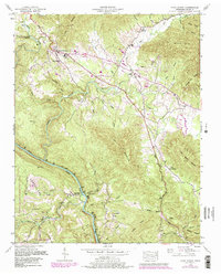
Editions of this 1952 Camp Austin Map
5 editions found
Other maps of this area

1887 · Kingston
USGS Topo · 1:125,000

1891 · Kingston
USGS Topo · 1:125,000

1893 · Briceville
USGS Topo · 1:125,000

1893 · Kingston
USGS Topo · 1:125,000

1895 · Wartburg
USGS Topo · 1:125,000

1895 · Loudon
USGS Topo · 1:125,000

1895 · Briceville
USGS Topo · 1:125,000

1896 · Wartburg
USGS Topo · 1:125,000

1896 · Briceville
USGS Topo · 1:125,000

1935 · Gobey
USGS Topo · 1:24,000