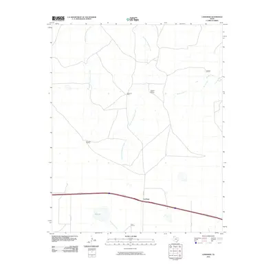
2010 Map of Landergin
USGS Topo · Published 2010About this map
Landergin occupies a strategic point along the southern corridor of this Texas Panhandle landscape, where the local road network meets the modern thoroughfare of the I-40 SVC RD. The area is characterized by an extensive ranching economy, evidenced by the presence of the Scharbauer Ranch and a series of named water-drawing landmarks across the plains, including the East Camp Windmill, Shipping Pasture Windmill, and Chugwater Windmill.
Find a feature on this map
15 named features on this map. Tap any name to fly to it.
Don’t see what you’re looking for? This feature index may not catch every label — zoom into the map to look around manually.
Map Details
Editions of this 2010 Landergin Map
This is the sole edition of this map. No revisions or reprints were ever made.
Other maps of this area

1954 · Tucumcari
USGS Topo · 1:250,000

1958 · Tucumcari
USGS Topo · 1:250,000

1966 · Alamocitos Camp
USGS Topo · 1:24,000

1966 · Simms NW
USGS Topo · 1:24,000

1966 · Simms NE
USGS Topo · 1:24,000

1966 · Adrian
USGS Topo · 1:24,000

1966 · Big George Tank
USGS Topo · 1:24,000

1966 · Landergin
USGS Topo · 1:24,000

1966 · Vega South
USGS Topo · 1:24,000

1966 · Torrea Peak
USGS Topo · 1:24,000