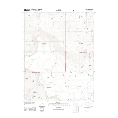
2013 Map of Lands End
USGS Topo · Published 2013About this map
Grand Mesa dominates this 2013 topographic landscape, revealing a complex network of high-altitude water management within the Grand Mesa National Forest. The map details an extensive system of catchments and conveyances, including Somerville-McCullah Reservoir, Palisade Reservoir Number 3, and the Jacobs Reservoir Number 2 Anderson Bolen. These features underscore the region's historical reliance on snowmelt management to support lower-elevation settlements.
Find a feature on this map
56 named features on this map. Tap any name to fly to it.
Don’t see what you’re looking for? This feature index may not catch every label — zoom into the map to look around manually.
Map Details
Editions of this 2013 Lands End Map
This is the sole edition of this map. No revisions or reprints were ever made.
Other maps of this area

1955 · Cameo
USGS Topo · 1:24,000

1955 · Mesa
USGS Topo · 1:24,000

1955 · Molina
USGS Topo · 1:24,000

1955 · Skyway
USGS Topo · 1:24,000

1956 · Moab
USGS Topo · 1:250,000

1956 · Grand Junction
USGS Topo · 1:250,000

1959 · Grand Junction
USGS Topo · 1:250,000

1959 · Moab
USGS Topo · 1:250,000

1960 · Moab
USGS Topo · 1:250,000

1960 · Grand Junction
USGS Topo · 1:250,000