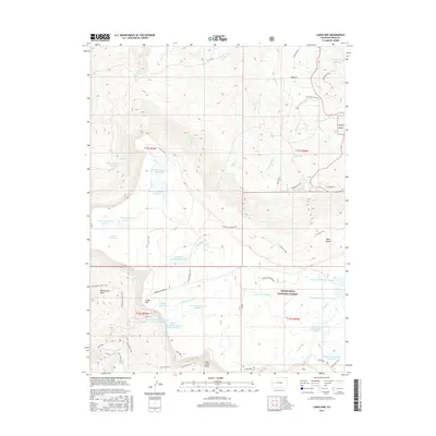
2016 Map of Lands End
USGS Topo · Published 2016About this map
Lands End serves as the focal point for this survey of the western edge of the Grand Mesa, where high-altitude water management defines the human landscape. The terrain is characterized by an intricate network of irrigation and storage systems within the Grand Mesa National Forest, including the Anderson Reservoirs, Vincent Reservoirs, and Rapid Cr Reservoir Number 1. These engineered water bodies, often named for local figures like the Somerville-McCullah Reservoir and Jacobs Reservoir Number 2, illustrate the critical importance of water rights and storage in the arid West. To the west, the landscape drops away into the Whitewater Basin and Coal Creek Basin, while several established pathways like the W Bench Trail and Whitewater Basin Trail navigate the complex topography between the plateau's rim and the drainages of N Fork Kannah Cr and Mesa Cr.
Find a feature on this map
58 named features on this map. Tap any name to fly to it.
Don’t see what you’re looking for? This feature index may not catch every label — zoom into the map to look around manually.
Map Details
Editions of this 2016 Lands End Map
This is the sole edition of this map. No revisions or reprints were ever made.
Other maps of this area

1955 · Cameo
USGS Topo · 1:24,000

1955 · Mesa
USGS Topo · 1:24,000

1955 · Molina
USGS Topo · 1:24,000

1955 · Skyway
USGS Topo · 1:24,000

1956 · Moab
USGS Topo · 1:250,000

1956 · Grand Junction
USGS Topo · 1:250,000

1959 · Grand Junction
USGS Topo · 1:250,000

1959 · Moab
USGS Topo · 1:250,000

1960 · Moab
USGS Topo · 1:250,000

1960 · Grand Junction
USGS Topo · 1:250,000