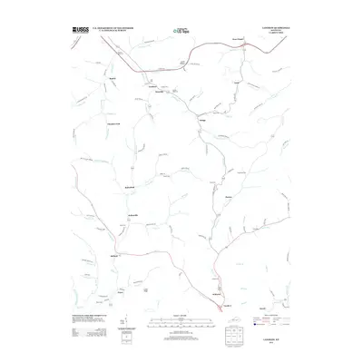
2013 Map of Landsaw
USGS Topo · Published 2013About this map
Bethany PO and Vancleve anchor this Breathitt County landscape, where the settlement pattern follows the intricate network of forks and branches characteristic of the region. The map reveals a high density of family and community burial sites, including the Centers Rose Cem and Tackett Wells Cem, which serve as vital markers for genealogical research. Small crossroads communities like Hollonville and Malaga are connected by narrow valley roads such as Pryor Fork Rd and Hollon Rd, reflecting a geography where life and transport are dictated by the flow of water towards Stillwater Cr and Frozen Cr. The terrain is punctuated by named locations like Cedar Ridge and Leslie Hollow, illustrating how early residents used even minor landforms to define their corner of the county.
Find a feature on this map
120 named features on this map. Tap any name to fly to it.
Don’t see what you’re looking for? This feature index may not catch every label — zoom into the map to look around manually.
Map Details
Editions of this 2013 Landsaw Map
This is the sole edition of this map. No revisions or reprints were ever made.
Other maps of this area

1889 · Salyersville
USGS Topo · 1:125,000

1891 · Salyersville
USGS Topo · 1:125,000

1892 · Beattyville
USGS Topo · 1:125,000

1899 · Salyersville
USGS Topo · 1:125,000

1951 · Cannel City
USGS Topo · 1:24,000

1951 · Landsaw
USGS Topo · 1:24,000

1951 · Hazel Green
USGS Topo · 1:24,000

1951 · Pomeroyton
USGS Topo · 1:24,000

1951 · Quicksand
USGS Topo · 1:24,000

1951 · Jackson
USGS Topo · 1:24,000