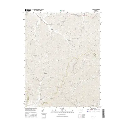
2016 Map of Landsaw
USGS Topo · Published 2016About this map
Landsaw and Baptist sit at the northern edge of this Cumberland Plateau landscape, where the Bert T Combs Mountain Pkwy cuts through the high ridges. The map captures a complex network of hollows and forks, with small settlements like Malaga, Lexie, and Paxton distributed along narrow valley floors. This 2016 survey illustrates the persistent rural settlement patterns of the region, where roads such as Campton Baptist Rd and Leslie Hollon Rd follow the natural topography of the land.
Find a feature on this map
60 named features on this map. Tap any name to fly to it.
Don’t see what you’re looking for? This feature index may not catch every label — zoom into the map to look around manually.
Map Details
Editions of this 2016 Landsaw Map
This is the sole edition of this map. No revisions or reprints were ever made.
Other maps of this area

1889 · Salyersville
USGS Topo · 1:125,000

1891 · Salyersville
USGS Topo · 1:125,000

1892 · Beattyville
USGS Topo · 1:125,000

1899 · Salyersville
USGS Topo · 1:125,000

1951 · Cannel City
USGS Topo · 1:24,000

1951 · Landsaw
USGS Topo · 1:24,000

1951 · Hazel Green
USGS Topo · 1:24,000

1951 · Pomeroyton
USGS Topo · 1:24,000

1951 · Quicksand
USGS Topo · 1:24,000

1951 · Jackson
USGS Topo · 1:24,000