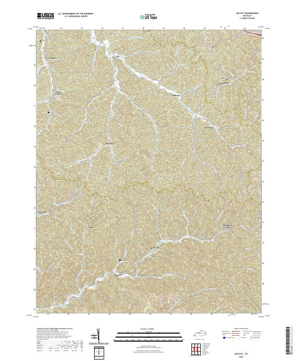
2022 Map of Landsaw
USGS Topo · Published 2022About this map
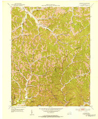
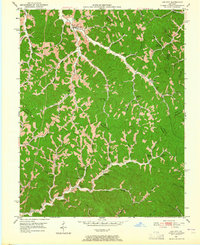
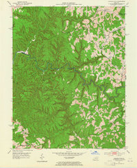
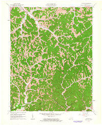
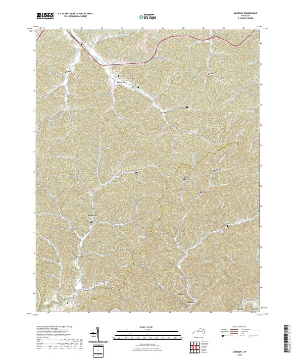
Landsaw and the surrounding hollows of Wolfe and Breathitt counties define this portion of the Cumberland Plateau. The landscape is characterized by a dense network of winding creeks and branches, such as Murphy Fork and Stillwater Cr, which have dictated the placement of small communities like Hollonville and Baptist. This survey captures the rural settlement patterns where family cemeteries, including Wells Cem and Pence Cem, are frequently situated on higher ground or near homesteads along the valley floors.
Find a feature on this map
99 named features on this map. Tap any name to fly to it.
Don’t see what you’re looking for? This feature index may not catch every label — zoom into the map to look around manually.
Map Details
Editions of this 2022 Landsaw Map
This is the sole edition of this map. No revisions or reprints were ever made.
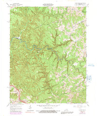
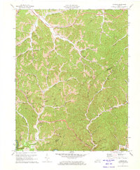
Historical Maps of Pence Through Time
9 maps found