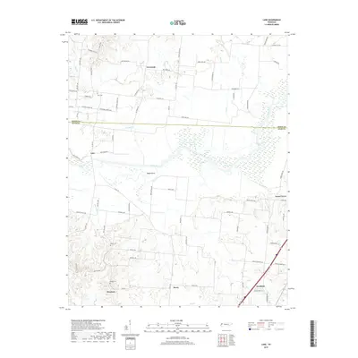
2019 Map of Lane
USGS Topo · Published 2019About this map
The Obion River meanders across the center of this landscape, defining the boundary between Obion Co and Dyer Co. This river corridor is characterized by numerous oxbow features and backwaters, including Round Lake, Old River Lake, and Goose Lake, which highlight the shifting hydrology of the bottomlands. Along the southern edge of the survey, the city of Newbern serves as a major regional hub, contrasted by the smaller, dispersed rural settlements of Lane, Maxey, and Meacham.
Find a feature on this map
80 named features on this map. Tap any name to fly to it.
Don’t see what you’re looking for? This feature index may not catch every label — zoom into the map to look around manually.
Map Details
Editions of this 2019 Lane Map
This is the sole edition of this map. No revisions or reprints were ever made.
Other maps of this area

1925 · Reelfoot Lake
USGS Topo · 1:62,500

1939 · Reelfoot Lake
USGS Topo · 1:62,500

1939 · Dyersburg
USGS Topo · 1:62,500

1950 · Obion
USGS Topo · 1:24,000

1951 · Obion
USGS Topo · 1:24,000

1952 · Newbern
USGS Topo · 1:24,000

1952 · Lane
USGS Topo · 1:24,000

1952 · Dyersburg
USGS Topo · 1:24,000

1952 · Miston
USGS Topo · 1:24,000

1956 · Reelfoot Lake
USGS Topo · 1:62,500