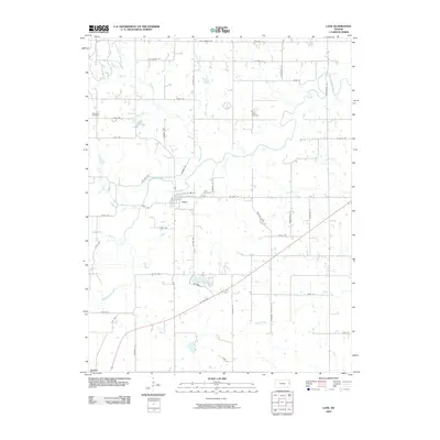
2009 Map of Lane
USGS Topo · Published 2009About this map
Pottawatomie Creek meanders through this eastern Kansas landscape, defining the rural geography surrounding the town of Lane. The settlement is positioned near the junction of several drainage systems, including the Hahn Branch and Mosquito Creek complex. This 2009 survey highlights a strictly grid-based road network, typical of the regional land management, which is only interrupted by the natural curves of the waterways and the diagonal passage of Us HWY 169 in the south near Greeley.
Find a feature on this map
49 named features on this map. Tap any name to fly to it.
Don’t see what you’re looking for? This feature index may not catch every label — zoom into the map to look around manually.
Map Details
Editions of this 2009 Lane Map
This is the sole edition of this map. No revisions or reprints were ever made.
Other maps of this area

1885 · Garnett
USGS Topo · 1:125,000

1885 · Lawrence
USGS Topo · 1:125,000

1887 · Olathe
USGS Topo · 1:125,000

1887 · Mound City
USGS Topo · 1:125,000

1889 · Lawrence
USGS Topo · 1:125,000

1893 · Mound City
USGS Topo · 1:125,000

1893 · Olathe
USGS Topo · 1:125,000

1894 · Garnett
USGS Topo · 1:125,000

1947 · Lawrence
USGS Topo · 1:250,000

1950 · Lawrence
USGS Topo · 1:250,000