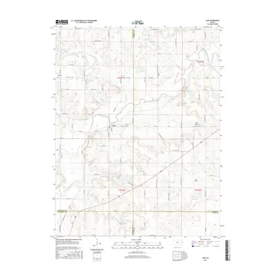
2015 Map of Lane
USGS Topo · Published 2015About this map
Pottawatomie Creek defines the local topography of this eastern Kansas landscape, joined by tributaries like Mound Creek and Mosquito Creek. The settlement of Lane serves as a central hub, situated near the intersection of several county boundaries, including Franklin, Miami, Anderson, and Linn. For those researching local history or genealogy, the map identifies several burial sites including Lane Cemetery, Needham Cemetery, Green Valley Cemetery, and the Spring Grove Quaker Cemetery. These sites are often the last standing indicators of early rural communities. The naming of John Brown Highway in the north provides a direct link to the region's prominent role in the Kansas territorial period. The map further documents local landmarks like Dunn Field and various branches such as Hahn Branch and Sac Branch.
Find a feature on this map
68 named features on this map. Tap any name to fly to it.
Don’t see what you’re looking for? This feature index may not catch every label — zoom into the map to look around manually.
Map Details
Editions of this 2015 Lane Map
This is the sole edition of this map. No revisions or reprints were ever made.
Other maps of this area

1885 · Garnett
USGS Topo · 1:125,000

1885 · Lawrence
USGS Topo · 1:125,000

1887 · Olathe
USGS Topo · 1:125,000

1887 · Mound City
USGS Topo · 1:125,000

1889 · Lawrence
USGS Topo · 1:125,000

1893 · Mound City
USGS Topo · 1:125,000

1893 · Olathe
USGS Topo · 1:125,000

1894 · Garnett
USGS Topo · 1:125,000

1947 · Lawrence
USGS Topo · 1:250,000

1950 · Lawrence
USGS Topo · 1:250,000