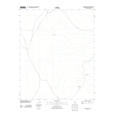
2012 Map of Lane Mountain
USGS Topo · Published 2012About this map
Lane Mountain stands as the central landmark in this San Bernardino County landscape, surrounded by a network of desert routes that speak to the area's prospecting and transit history. The map documents a rugged terrain defined by significant natural passages like Jackhammer Gap and Pickhandle Pass. These geological features are intersected by several historically named tracks, including Starbright Mine Rd and Copper City Rd, which hint at the region's mining legacy. The presence of the Old Yermo Cutoff and Coolgardie Rd further illustrates how early travelers navigated this arid environment. This 2012 survey by the U.S. Geological Survey provides a high-resolution look at the drainage patterns and unpaved road systems that remain vital for understanding the modern geography and historic accessibility of this high desert region.
Find a feature on this map
12 named features on this map. Tap any name to fly to it.
Don’t see what you’re looking for? This feature index may not catch every label — zoom into the map to look around manually.
Map Details
Editions of this 2012 Lane Mountain Map
This is the sole edition of this map. No revisions or reprints were ever made.
Other maps of this area

1915 · Searles Lake
USGS Topo · 1:250,000

1932 · Barstow
USGS Topo · 1:125,000

1933 · Avawatz Mountains
USGS Topo · 1:250,000

1934 · Barstow
USGS Topo · 1:125,000

1947 · Trona
USGS Topo · 1:250,000

1948 · Trona
USGS Topo · 1:250,000

1948 · Lane Mountain
USGS Topo · 1:62,500

1951 · Lane Mountain
USGS Topo · 1:62,500

1953 · San Bernardino
USGS Topo · 1:250,000

1953 · Yermo
USGS Topo · 1:24,000