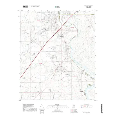
2018 Map of Lanett South
USGS Topo · Published 2018About this map
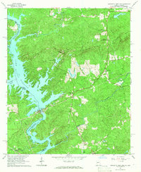
The Chattahoochee River forms the central spine of this landscape, marking the historic boundary between Alabama and Georgia. Along its western banks, the consolidated city of Valley encompasses several distinct textile mill-town communities including Langdale, Fairfax, Shawmut, and River View. These settlements are densely packed with residential grids and numerous local burial grounds such as Fairfax Cem and Oak Wood Cem, reflecting the area's deep industrial and genealogical roots.
Find a feature on this map
146 named features on this map. Tap any name to fly to it.
Don’t see what you’re looking for? This feature index may not catch every label — zoom into the map to look around manually.
Map Details
Editions of this 2018 Lanett South Map
This is the sole edition of this map. No revisions or reprints were ever made.
Other maps of this area

1907 · Opelika
USGS Topo · 1:125,000

1909 · Opelika
USGS Topo · 1:125,000

1955 · Phenix City
USGS Topo · 1:250,000

1957 · Phenix City
USGS Topo · 1:250,000

1958 · Phenix City
USGS Topo · 1:250,000
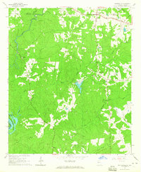
1964 · Whitesville
USGS Topo · 1:24,000
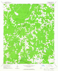
1964 · Cannonville
USGS Topo · 1:24,000
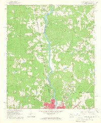
1964 · Lanett North
USGS Topo · 1:24,000

1964 · Lanett South
USGS Topo · 1:24,000
1965 · Bartletts Ferry Dam
USGS Topo · 1:24,000