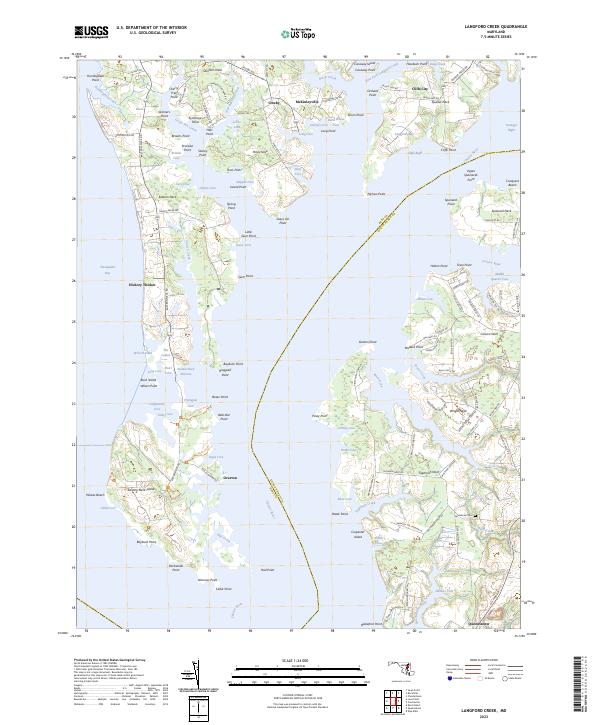
2023 Map of Langford Creek
USGS Topo · Published 2023About this map
Queenstown sits at the southeastern corner of this map, marking a transition from the lower Chester River into the intricate inlets of the Eastern Shore. The landscape is defined by its deep relationship with the water, where numerous necks and coves create a fragmented shoreline. Quaker Neck and Corsica Neck reach into the tidal reaches, surrounded by named points like Nichols Point and Skinners Point. The survey reveals a region of small settlements and agricultural heritage, with Crosby and McKinleyville anchoring the northern stretches near East Fork Langford Creek.
Find a feature on this map
152 named features on this map. Tap any name to fly to it.
Don’t see what you’re looking for? This feature index may not catch every label — zoom into the map to look around manually.
Map Details
Editions of this 2023 Langford Creek Map
This is the sole edition of this map. No revisions or reprints were ever made.
Other maps of this area

1892 · Annapolis
USGS Topo · 1:62,500

1893 · North Point
USGS Topo · 1:62,500

1898 · Choptank
USGS Topo · 1:125,000

1898 · Tolchester
USGS Topo · 1:125,000

1901 · Chestertown
USGS Topo · 1:62,500

1903 · Tolchester
USGS Topo · 1:125,000

1904 · St. Michaels
USGS Topo · 1:62,500

1904 · North Point
USGS Topo · 1:62,500

1904 · Annapolis
USGS Topo · 1:62,500

1908 · Tolchester
USGS Topo · 1:125,000