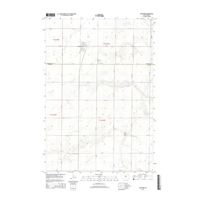
2015 Map of Langford
USGS Topo · Published 2015About this map
Langford serves as the central hub of this northern South Dakota landscape, situated at the boundary between Marshall and Day counties. The town's grid is clearly defined by Main St, Chestnut St, and Elm St, reflecting its role as a local agricultural and residential center. The surrounding terrain is dominated by the Coteau des Prairies, a high plateau that rises above the neighboring plains. Several historical burial sites are preserved across the sections, including Hillside Cem and Saint Peter Cem east of town, and Homer Cem further south. The drainage patterns of Antelope Cr wind through the eastern and northern portions of the quadrangle, illustrating the natural watercourses that define this part of the Glacial Lake Agassiz region.
Find a feature on this map
25 named features on this map. Tap any name to fly to it.
Don’t see what you’re looking for? This feature index may not catch every label — zoom into the map to look around manually.
Map Details
Editions of this 2015 Langford Map
This is the sole edition of this map. No revisions or reprints were ever made.
Other maps of this area

1953 · Milbank
USGS Topo · 1:250,000

1958 · Milbank
USGS Topo · 1:250,000

1958 · Spain
USGS Topo · 1:24,000

1958 · Britton 4 NW
USGS Topo · 1:24,000

1958 · Britton 4 SW
USGS Topo · 1:24,000
1958 · Amherst
USGS Topo · 1:24,000

1958 · Andover
USGS Topo · 1:24,000

1958 · Langford
USGS Topo · 1:24,000

1958 · Pierpont
USGS Topo · 1:24,000
1958 · Langford SW
USGS Topo · 1:24,000