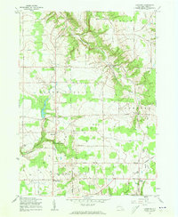
1960 Map of Langford
USGS Topo · Published 1962About this map
St Martins Ch and the Dittman Cem serve as landmarks in this agricultural landscape of southern Erie County during the early 1960s. The terrain is defined by the deep incisions of the South Branch Eighteenmile Creek and the North Branch Clear Creek, which carve through the plateau between Brown Hill and Rocky Mountain. Small crossroads communities like Langford, Morton Corners, and New Oregon anchor the rural road network, while the western portion of the map reveals a concentrated cluster of Gas Wells near Marshfield. This pattern of land use reflects a mix of traditional dairy farming and mid-century energy extraction. Other notable features include Camp Hemlock Ridge near Clear Lake and several regional pipelines that traverse the hills, illustrating the utility infrastructure of the period.
Find a feature on this map
41 named features on this map. Tap any name to fly to it.
Don’t see what you’re looking for? This feature index may not catch every label — zoom into the map to look around manually.
Map Details
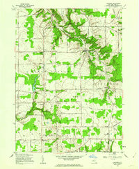
Editions of this 1960 Langford Map
2 editions found
Other maps of this area

1905 · Eden
USGS Topo · 1:62,500

1907 · Eden
USGS Topo · 1:62,500

1923 · Cattaraugus
USGS Topo · 1:62,500

1924 · Ellicottville
USGS Topo · 1:62,500

1925 · Springville
USGS Topo · 1:62,500

1938 · Cattaraugus
USGS Topo · 1:62,500

1941 · Cattaraugus
USGS Topo · 1:62,500

1941 · Ellicottville
USGS Topo · 1:62,500

1944 · Eden
USGS Topo · 1:62,500

1944 · North Collins
USGS Topo · 1:31,680