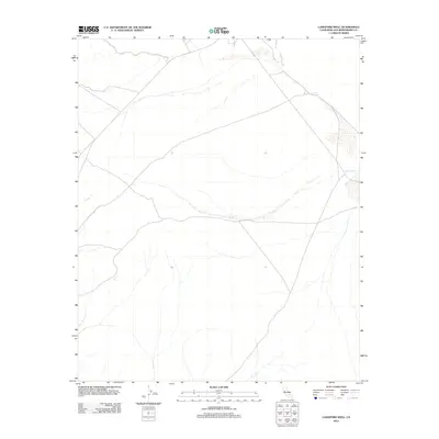
2012 Map of Langford Well
USGS Topo · Published 2012About this map
Garlic Spring and Langford Well define the water sources of this high desert terrain in the Mojave. This 2012 survey illustrates the critical reliance on isolated wells and springs in an arid landscape where ephemeral drainage lines mark the topography more prominently than permanent settlements. The map highlights the intersection of local routes and these vital hydrologic features, which historically served as waypoints for travelers and cattle in the California desert. The sparse labeling underscores the character of this corner of San Bernardino County, where the infrastructure is limited to basic road networks and protected water locations.
Find a feature on this map
2 named features on this map. Tap any name to fly to it.
Don’t see what you’re looking for? This feature index may not catch every label — zoom into the map to look around manually.
Map Details
Editions of this 2012 Langford Well Map
This is the sole edition of this map. No revisions or reprints were ever made.
Other maps of this area

1933 · Avawatz Mountains
USGS Topo · 1:250,000

1947 · Trona
USGS Topo · 1:250,000

1948 · Trona
USGS Topo · 1:250,000

1948 · Alvord Mountain
USGS Topo · 1:62,500

1948 · Lane Mountain
USGS Topo · 1:62,500

1948 · Goldstone Lake
USGS Topo · 1:62,500

1948 · Tiefort Mountains
USGS Topo · 1:62,500

1951 · Goldstone Lake
USGS Topo · 1:62,500

1951 · Tiefort Mountains
USGS Topo · 1:62,500

1951 · Alvord Mountain
USGS Topo · 1:62,500