Old Maps of Calico Estates, San Bernardino County
Explore 21 old maps of Calico Estates, spanning from 1933 to today. These high-resolution historic maps reveal how streets, neighborhoods, landmarks, and natural features evolved over time — perfect for genealogy, metal detecting, research, and local history exploration.
What you can do with these maps:
- See how Calico Estates changed over time: Compare historical maps to modern-day views to trace roads, homesites, rail lines & more.
- View detailed metadata: Each map includes creators, publishers, year, scale, and archive source.
- Overlay maps with satellite & LiDAR: Visualize the past alongside modern tools to explore terrain & human change.
- Trusted historical sources: Maps sourced from the USGS, Library of Congress, and other archives.
- Access maps your way: View online, download high-res files, or order prints for personal or research use.
Start exploring old maps of Calico Estates to uncover forgotten places, hidden landmarks, and the deep history beneath your feet.
Calico Estates, San Bernardino County maps
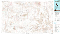
(21)- 1933 Map of Avawatz Mountains
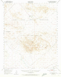
 1933 Avawatz Mountains1933 Print · USGSThe Mojave Desert and Death Valley transition through a period of mining and rail expansion in the early thirties. Researchers can trace the routes of the Tonopah and Tidewater RR and locate historical sites like Ashford Mill and the Epsom Salts Works.5 unique versions available
 - 1947 Map of Trona, 1948 Print
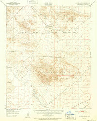
 1947 Trona1948 Print · USGSThe Mojave Desert and Southern Sierra foothills come alive in the late 1940s, showing the industrial nodes of the Argus Range and the burgeoning Camp Irwin. Trace the legacy of desert mining and railroading through Trona, the Ashford Mill, and the historic districts of Randsburg and Garlock.
 - 1948 Map of Trona
 1948 Trona1948 Print · USGSThe Mojave Desert and Death Valley frontier appear here during a mid-century era of military expansion and industrial mining. Trace the remnants of the Old Spanish Trail or locate isolated landmarks like Ashford Mill and the mining hub of Randsburg.
 - 1948 Map of Alvord Mountain
 1948 Alvord Mountain1948 Print · USGSSan Bernardino County's high desert landscape appears here shortly after the war, defined by expansive military grounds and isolated water sources. Researchers can trace early infrastructure and resource points like the Alvord Mine, the Union Pacific line, and Garlic Spring.3 unique versions available
 - 1948 Map of Tiefort Mountains, 1966 Print
 1948 Tiefort Mountains1966 Print · USGSThe Mojave Desert at the start of the Cold War reveals the strategic development of the Camp Irwin Military Reservation. Researchers can trace early military infrastructure around Camp Irwin and locate remote desert water sources like Drinkwater Spring and Bicycle Lake.2 unique versions available
 - 1951 Map of Tiefort Mountains
 1951 Tiefort Mountains1951 Print · USGSThe Mojave Desert interior in the early fifties was a landscape of military expansion and stark topography. Researchers can trace the early layout of Camp Irwin, identify remote water sources like Drinkwater Spring, and map the extent of Bicycle Lake.
 - 1951 Map of Alvord Mountain
 1951 Alvord Mountain1951 Print · USGSThe High Desert of San Bernardino County is captured here in the late 1940s, just as military expansion was reshuffling the landscape. Researchers can trace the perimeter of Camp Irwin Military Reservation and locate remote sites like Alvord Mine and Garlic Spring.
 - 1953 Map of Trona, 1956 Print
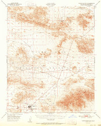
 1953 Trona1956 Print · USGSThe high desert of San Bernardino and Inyo counties during the early Cold War reveals a landscape of mineral industry and military expansion. You can trace the Old Spanish Trail, locate the Trona potash works, and find remote outposts like Ashford Mill.
 - 1957 Map of Trona, 1964 Print
 1957 Trona1964 Print · USGSThe High Desert in the mid-fifties is captured here as a landscape of remote mining outposts and growing military installations. Trace the industrial rail lines to Trona, the mining history of Randsburg, or the isolated expanse of the Naval Ordnance Test Station.5 unique versions available
 - 1960 Map of Trona
 1960 Trona1960 Print · USGSThe Mojave Desert at mid-century reveals a landscape of massive military installations and industrial mineral works. Researchers can trace the heritage of mining and ranching at Ashford Mill, Randsburg, and Paxton Ranch while following the Old Spanish Trail.2 unique versions available
 - 1986 Map of Fort Irwin
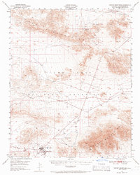
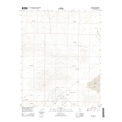
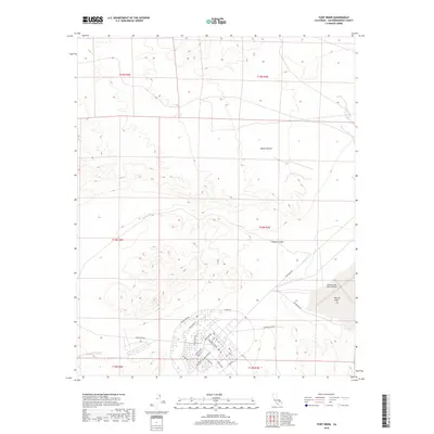
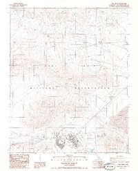 1986 Fort Irwin1986 Print · USGSFort Irwin and its surroundings in the mid-1980s showcase a high-desert military landscape during a period of infrastructure expansion. Military historians and researchers can trace the development of Bicycle Lake Army Airfield, Coyote Canyon, and various Observation Towers used during training exercises.3 unique versions available
 - 1986 Map of Langford Well
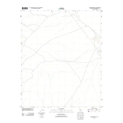
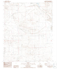 1986 Langford Well1986 Print · USGSFort Irwin in the mid-1980s shows the specialized military infrastructure and desert landmarks of this San Bernardino territory. Researchers can locate the Langford Well (Site) and trace tracks to Painted Rocks or Garlic Spring.2 unique versions available
 - 1993 Map of Soda Mountains
 1993 Soda Mountains1993 Print · USGSSan Bernardino County's high desert reveals its military and mining foundations in the 1990s. Trace the expanses of Fort Irwin or locate historic operations like the Goldstone Mine and Silver Lake Mine along the Union Pacific Railroad.
 - 2012 Map of Fort Irwin, 2012 Print
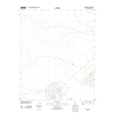 2012 Fort Irwin2012 Print · USGSCovers Calico Estates, including Fort Irwin, San Bernardino County, and other nearby areas
 - 2012 Map of Langford Well, 2012 Print
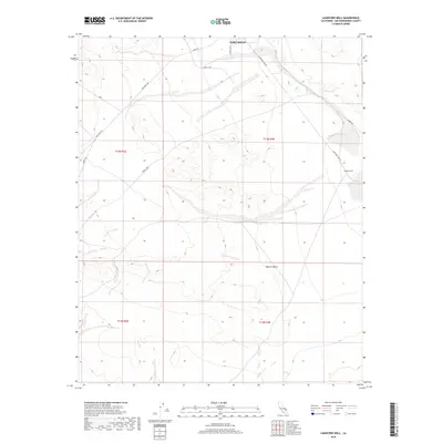
 2012 Langford Well2012 Print · USGSCovers Calico Estates, including San Bernardino County, United States, and other nearby areas
 - 2015 Map of Langford Well, 2015 Print
 2015 Langford Well2015 Print · USGSCovers Calico Estates, including San Bernardino County, United States, and other nearby areas
 - 2015 Map of Fort Irwin, 2015 Print
 2015 Fort Irwin2015 Print · USGSCovers Calico Estates, including Fort Irwin, San Bernardino County, and other nearby areas
 - 2018 Map of Langford Well, 2018 Print
 2018 Langford Well2018 Print · USGSCovers Calico Estates, including San Bernardino County, United States, and other nearby areas
 - 2018 Map of Fort Irwin, 2018 Print
 2018 Fort Irwin2018 Print · USGSCovers Calico Estates, including Fort Irwin, San Bernardino County, and other nearby areas
 - 2021 Map of Langford Well, 2021 Print
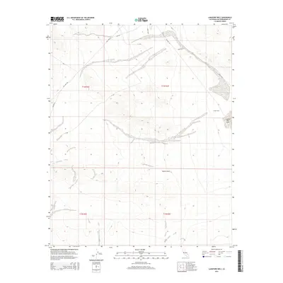
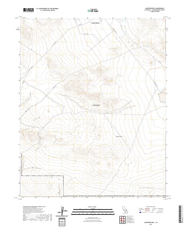 2021 Langford Well2021 Print · USGSThe Mojave Desert and the sprawling military grounds of Fort Irwin define this terrain during the early 2020s. Researchers can trace the modern logistical network of the base along Fort Irwin Rd and locate the historic Garlic Spring.
 - 2021 Map of Fort Irwin, 2021 Print
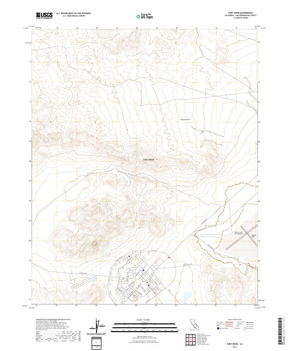 2021 Fort Irwin2021 Print · USGSMilitary planning and desert geography meet in San Bernardino County as seen in this modern survey of the base. Trace the tactical infrastructure from the Bicycle Lake Army Airfield and Bicycle Lake to residential streets like Normandy Dr.
End of results
Showing maps 1-21 of 21
Frequently asked questions
- What are the different types of historical maps available for Calico Estates?
- What is the oldest map of Calico Estates?
- Where can I purchase historical maps of Calico Estates for my home or office?
- Where can I download high-res historical maps of Calico Estates?
- Are there historical topographic maps available for Calico Estates?
- Is there historical aerial imagery available for Calico Estates?
- Where are historical maps of Calico Estates sourced from?