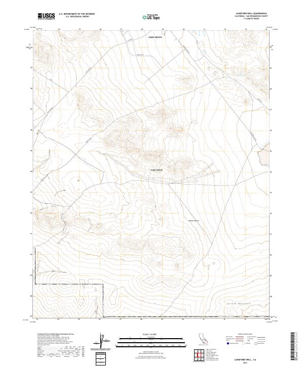
2021 Map of Langford Well
USGS Topo · Published 2021About this map
Fort Irwin occupies the northern reaches of this map, illustrating the modern footprint of this major military installation within the Mojave Desert. The landscape is defined by the high elevations of Alvord Mountain to the south and the presence of Garlic Spring in the northeast, a rare water source in this arid environment. Transportation patterns reflect the area's specialized use, with a network of service roads and specialized corridors including Fort Irwin Rd, Ammo Rte, and a route labeled Nasa. The map documents the specific administrative and logistical layout of the base, from the North Loop to the residential or administrative naming convention of 5th St, during a period of continued military activity and desert research.
Find a feature on this map
15 named features on this map. Tap any name to fly to it.
Don’t see what you’re looking for? This feature index may not catch every label — zoom into the map to look around manually.
Map Details
Editions of this 2021 Langford Well Map
This is the sole edition of this map. No revisions or reprints were ever made.
Other maps of this area

1933 · Avawatz Mountains
USGS Topo · 1:250,000

1947 · Trona
USGS Topo · 1:250,000

1948 · Trona
USGS Topo · 1:250,000

1948 · Alvord Mountain
USGS Topo · 1:62,500

1948 · Lane Mountain
USGS Topo · 1:62,500

1948 · Goldstone Lake
USGS Topo · 1:62,500

1948 · Tiefort Mountains
USGS Topo · 1:62,500

1951 · Goldstone Lake
USGS Topo · 1:62,500

1951 · Tiefort Mountains
USGS Topo · 1:62,500

1951 · Alvord Mountain
USGS Topo · 1:62,500