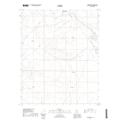
2018 Map of Langford Well
USGS Topo · Published 2018About this map
Fort Irwin dominates the northern reaches of this map, reflecting the ongoing military and research significance of this portion of the Mojave Desert. The landscape is defined by a network of specialized routes, including the North Loop, S Loop Rd, and Ammo Rte, which facilitate transit across the arid terrain. To the east, the historic watering point at Langford Well and the riparian marker of Garlic Spring stand as critical landmarks in an otherwise stark environment. These features, along with the Nasa access road, illustrate the transition from traditional desert survival points to modern aerospace and tactical operations. The map details the precise township and range divisions, such as t13n r3e, providing a clear grid of the modern land management in San Bernardino County.
Find a feature on this map
17 named features on this map. Tap any name to fly to it.
Don’t see what you’re looking for? This feature index may not catch every label — zoom into the map to look around manually.
Map Details
Editions of this 2018 Langford Well Map
This is the sole edition of this map. No revisions or reprints were ever made.
Other maps of this area

1933 · Avawatz Mountains
USGS Topo · 1:250,000

1947 · Trona
USGS Topo · 1:250,000

1948 · Trona
USGS Topo · 1:250,000

1948 · Alvord Mountain
USGS Topo · 1:62,500

1948 · Lane Mountain
USGS Topo · 1:62,500

1948 · Goldstone Lake
USGS Topo · 1:62,500

1948 · Tiefort Mountains
USGS Topo · 1:62,500

1951 · Goldstone Lake
USGS Topo · 1:62,500

1951 · Tiefort Mountains
USGS Topo · 1:62,500

1951 · Alvord Mountain
USGS Topo · 1:62,500