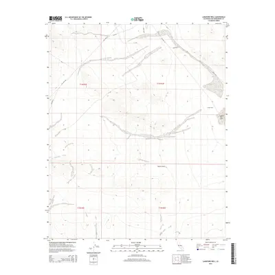
2015 Map of Langford Well
USGS Topo · Published 2015About this map
Mojave Desert terrain dominates this 2015 survey, where the arid landscape is defined by the logistics of modern military and scientific operations. The presence of Nasa and tactical thoroughfares like the Ammo Route and Langford Lk point to the area's role within a restricted government landscape. Despite this modern utility, the map preserves the location of essential desert landmarks, such as Garlic Spring and Langford Well, which speak to the historic necessity of water in this part of San Bernardino County.
Find a feature on this map
15 named features on this map. Tap any name to fly to it.
Don’t see what you’re looking for? This feature index may not catch every label — zoom into the map to look around manually.
Map Details
Editions of this 2015 Langford Well Map
This is the sole edition of this map. No revisions or reprints were ever made.
Other maps of this area

1933 · Avawatz Mountains
USGS Topo · 1:250,000

1947 · Trona
USGS Topo · 1:250,000

1948 · Trona
USGS Topo · 1:250,000

1948 · Alvord Mountain
USGS Topo · 1:62,500

1948 · Lane Mountain
USGS Topo · 1:62,500

1948 · Goldstone Lake
USGS Topo · 1:62,500

1948 · Tiefort Mountains
USGS Topo · 1:62,500

1951 · Goldstone Lake
USGS Topo · 1:62,500

1951 · Tiefort Mountains
USGS Topo · 1:62,500

1951 · Alvord Mountain
USGS Topo · 1:62,500